As the rain abated we left Grand Lake and headed into Rocky Mountain National Park. Grand Lake is a rustic, kitschy town with carved bear statues, wooden boardwalks and no shortage of visitors. National Parks are our nation’s gems, and they sure do attract the crowds. Nevertheless, it was an enjoyable stop before our trek to Steamboat.

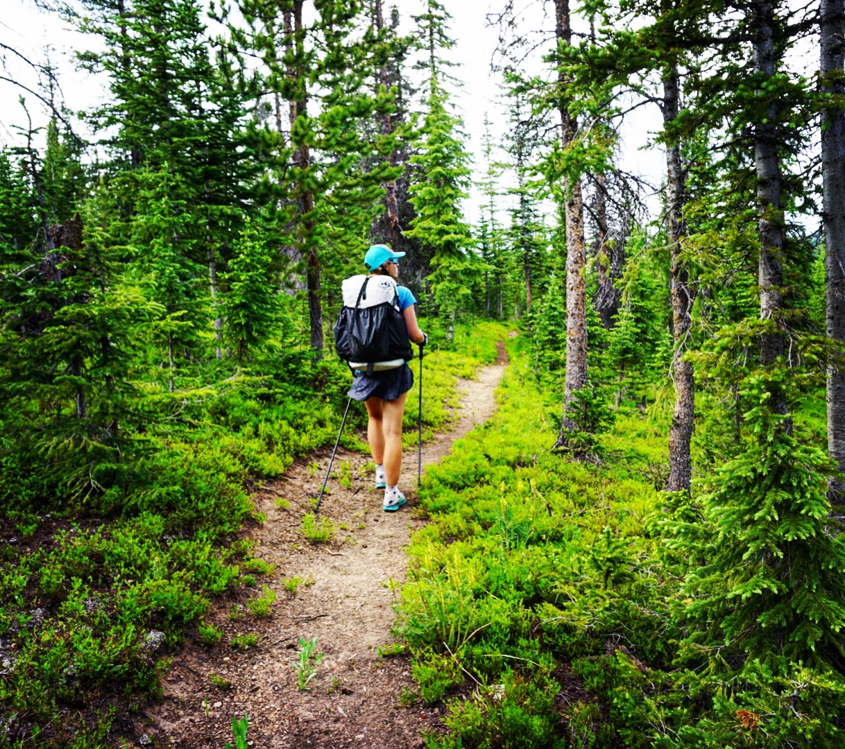
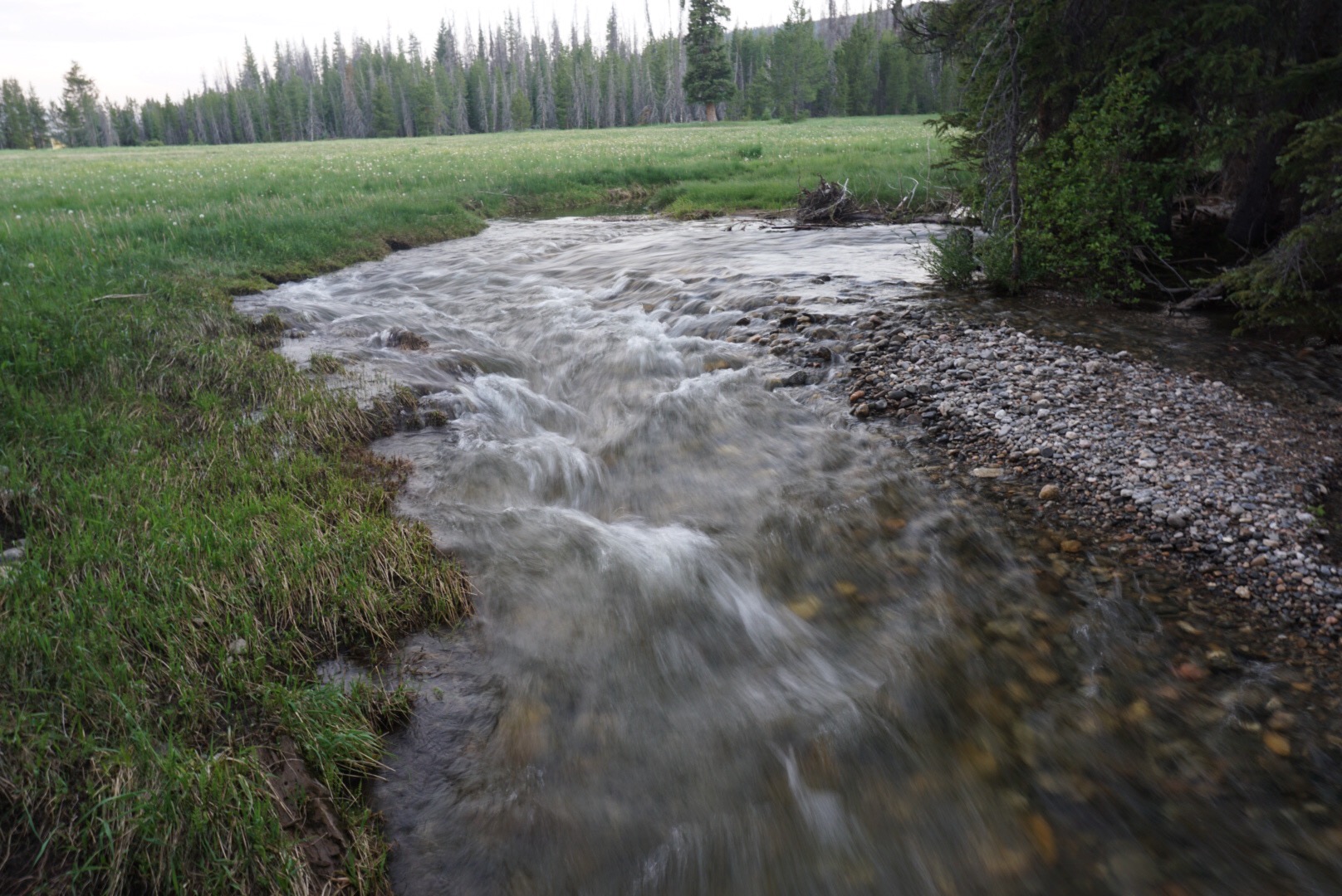
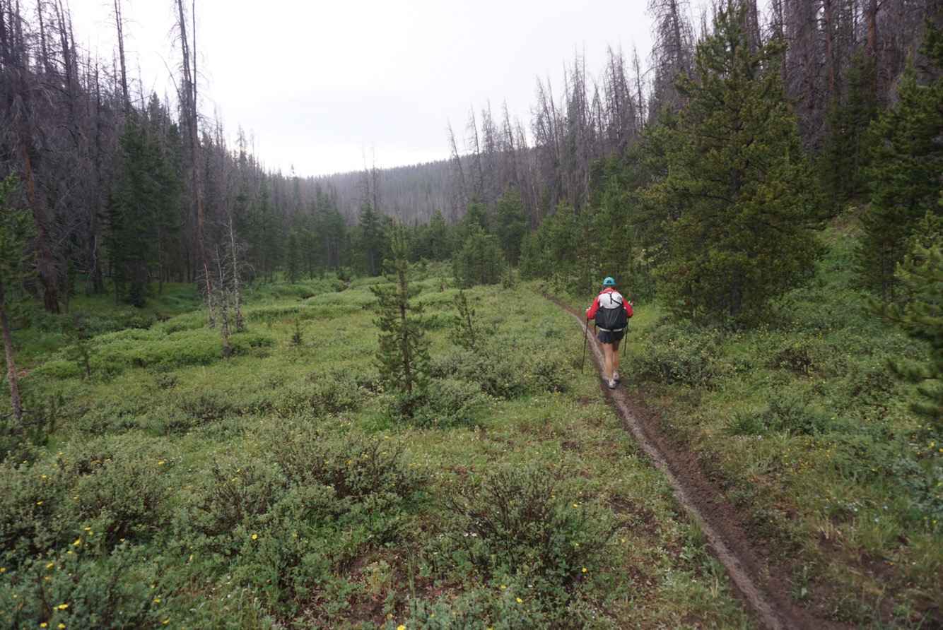
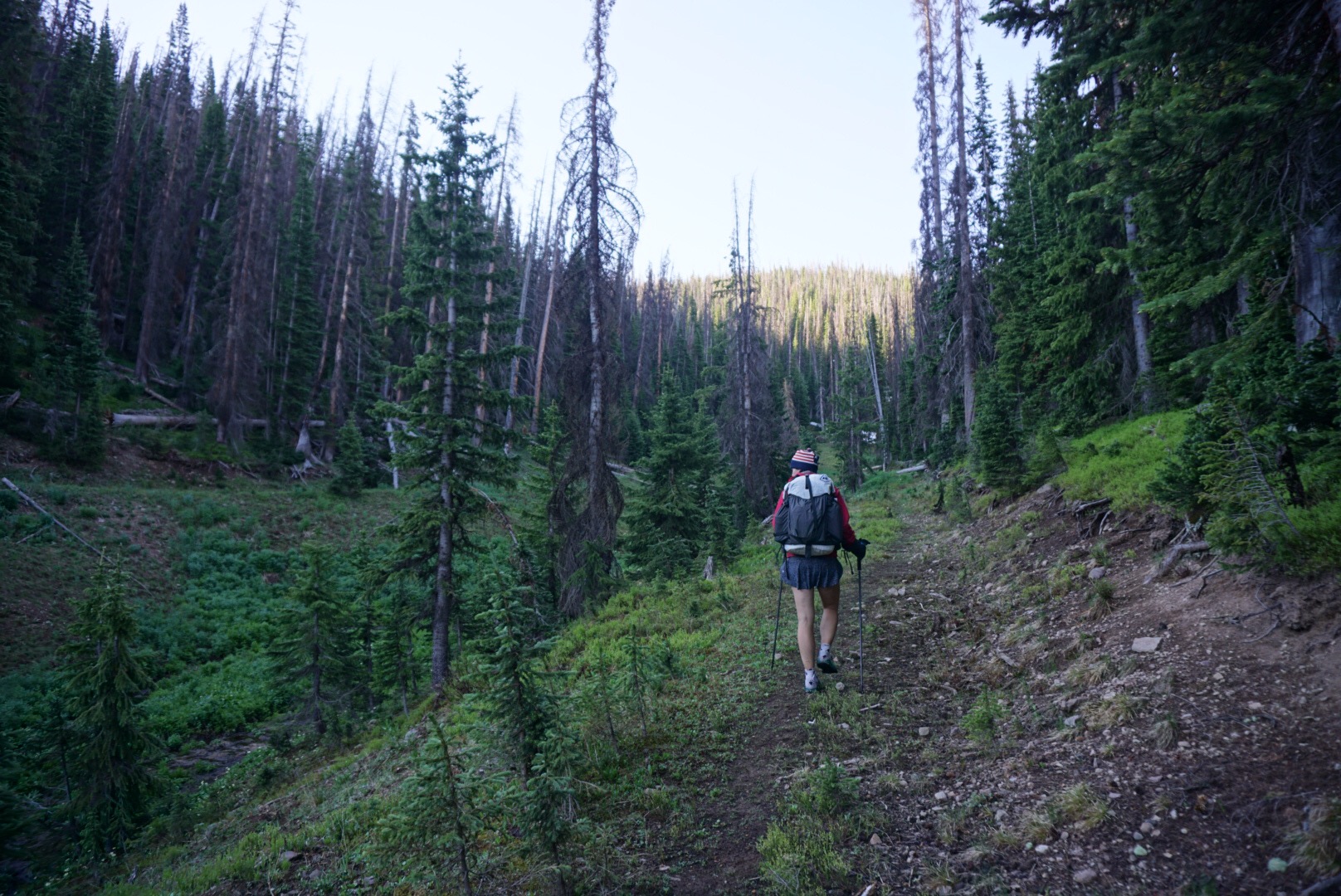
The trail soon entered the park and we enjoyed one of the smoothest sections of trail of the entire trip. Despite living quite close, Elaine and I have spent almost no time on this western side of the park. It’s much more lush and remote than the east side. The mosquitoes are out in force, a phenomenon that I suspect will only increase through the Wind River Mountains.

One of the interesting phenomenons of outdoor life in 2017 is how social media makes it possible to “know” people even though you have not met them in real life. Such was the case when Leslie came bounding down the trail in the other direction. Leslie is somebody who Elaine and I have been following on social media for some time. She is a bad ass endurance athlete from Banff who is spending the summer hiking the CDT. With a hoot and holler we said hello and chatted for awhile. Leslie hiked down from South Pass, Wyoming, and unlike our somewhat stubborn and arguably questionable strategy to continue north through all conditions, Leslie is hiking sections of trail when they are in good condition. Her goal is to have an enjoyable – and still very challenging – summer of hiking. It was very cool to meet her.
We parted ways, headed up over a pass, and descended to Trail Ridge Road. There was a traffic jam as hundreds of motorists watched a moose and her calf. It struck me that we humans are incredibly nature starved. In a way it’s a sad reflection, but it’s encouraging. At least there is hope…the fascination with the wild hasn’t been driven from us completely. 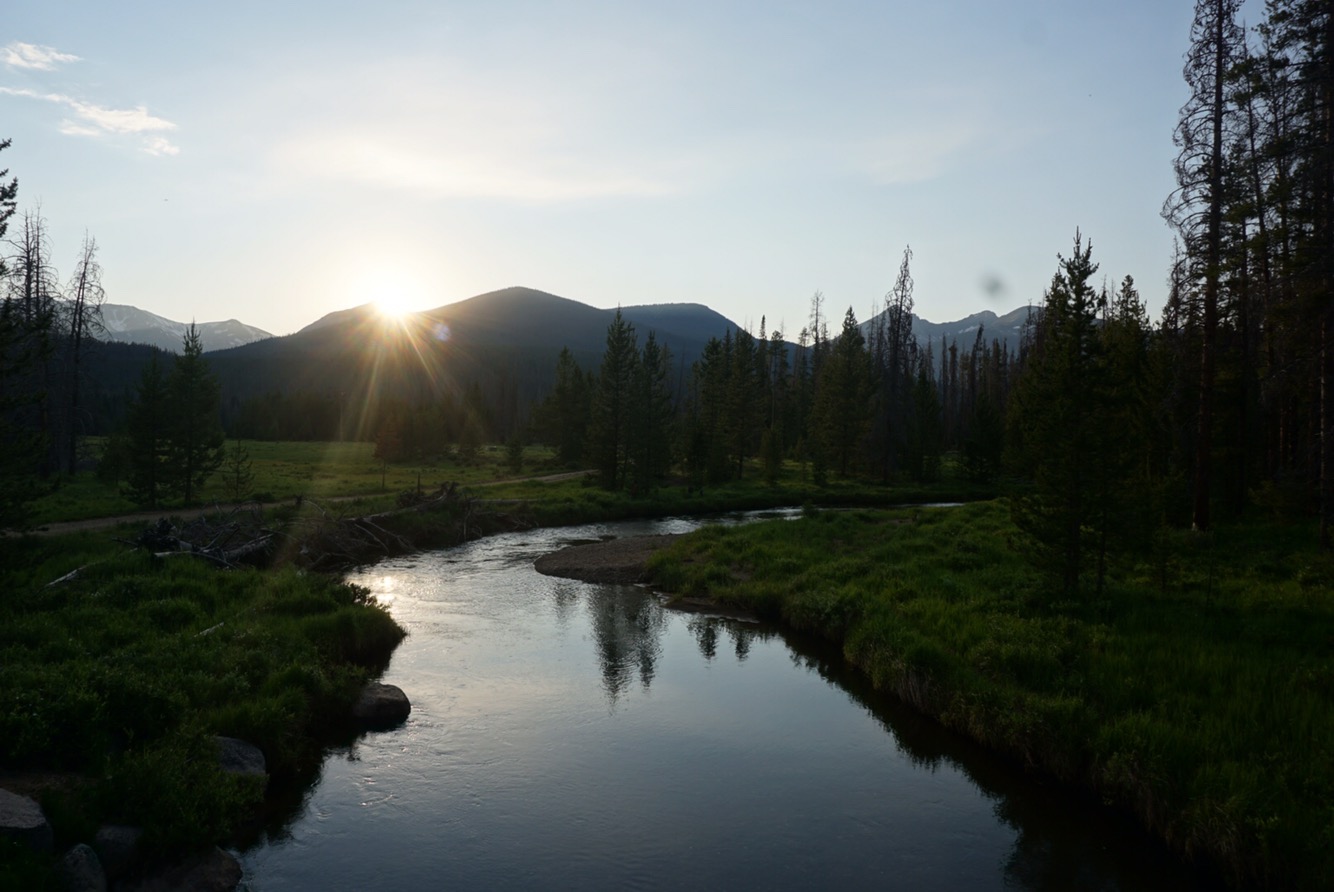
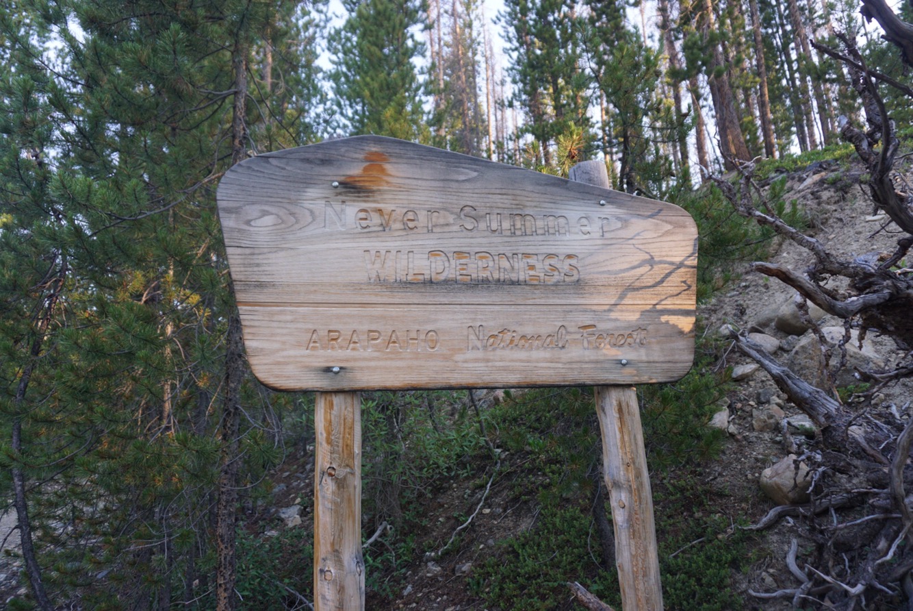
We crossed the Colorado River at sunset, a golden sheen reflecting off her headwaters as the mountains turned blood red. For all the traffic, National Parks are beautiful. We headed west across a valley and camped right outside the park’s border in the Never Summer Wilderness. Camping inside the park requires a permit and bear canister – we had neither. We slept soundly as night settled in.
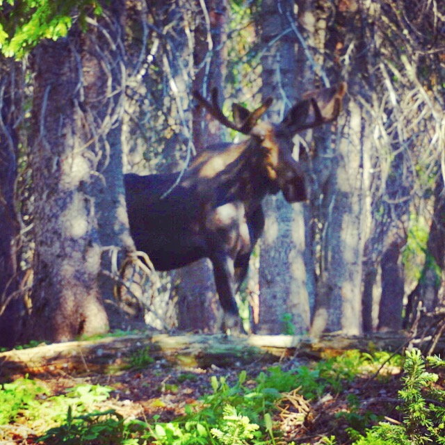
We were out the next morning at 6:30 am, up a trail alongside a rushing creek, and then up, up, up. The climb up to Bowen Pass was a steady and at times steep 3,000 foot effort. Our heads were down, so we were quite startled when we glanced up for a second and saw five moose staring at us from about 30 feet away. Moose can be moody beasts, and they are basically blind, so Elaine gave a friendly “hey moose!” to let them know we were around. It seemed to work – they stared our way intently but made no bluff or charge as we continued up the trail.
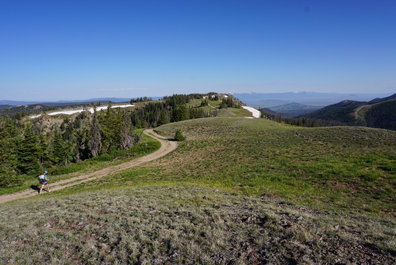
The Never Summer Range is one of Colorado’s less visited mountain ranges, and it feels wild. I’ve skied here a few times, but for me it’s relatively unknown. We entered a perfect alpine valley, full of columbines, forget-me-nots, sky pilots, bluebells and Indian paintbrush. One advantage of our delays – we are certainly enjoying peak wildflower season.

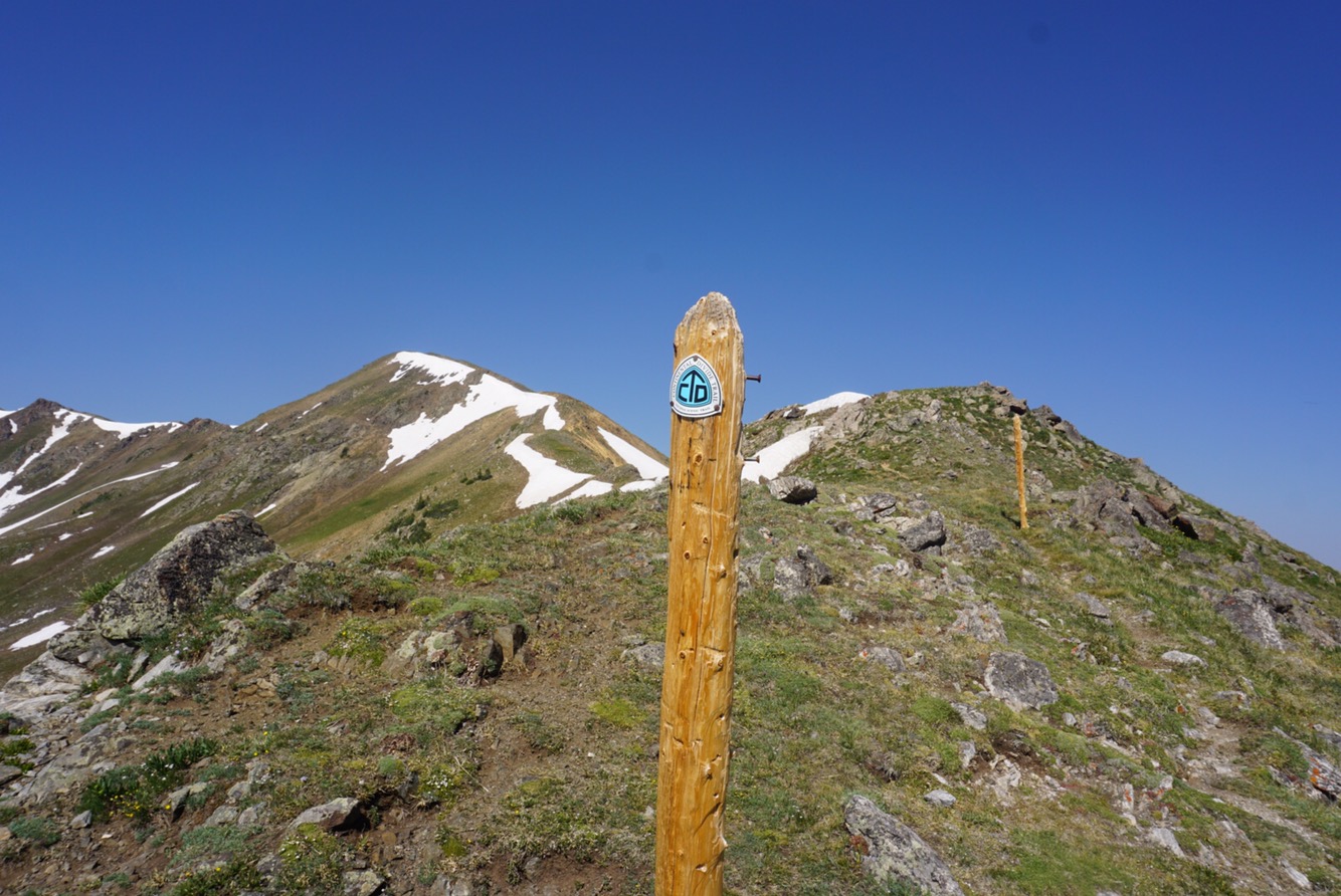

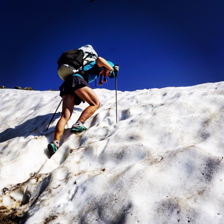
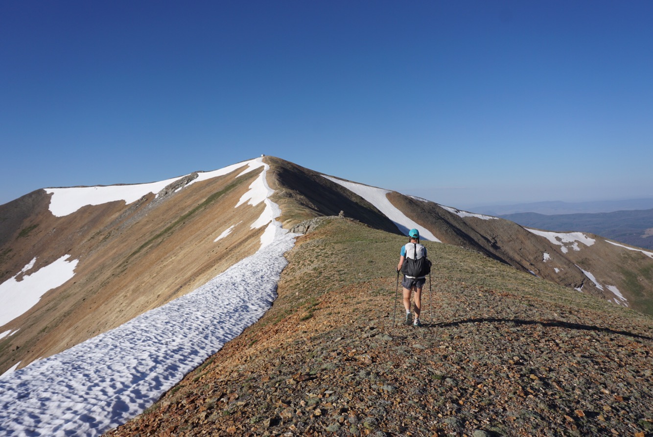
The pass rose up in front of us, and the final steps onto the divide required a bit of snow navigation. This snow was easy – consolidated, full of steps and fun. The trail meandered on the other side of the pass with a few snow patches here and there but nothing too bad. The days of slogging through the hip deep San Juan snow are officially done.

It’s been an incredibly dry June and early July, so rain is a welcome sight. Since we were below tree line it was with enjoyment that we tossed on our raincoats and hiked for a couple hours as a thunderstorm boomed overhead and the rain beat down. Thunderstorms above timberline are terrifying because they can kill you. That said, there are few things I like better than hiking, running or mountain biking in the protected woods as rain and thunder pelt down. It’s insular and allows for silent, comfortable contemplation.
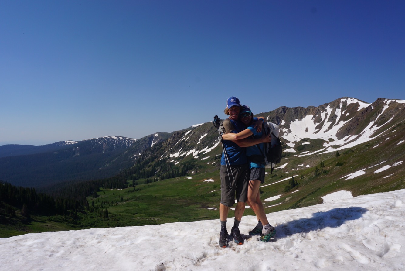
We had a decision to make: take a longer but smoother jeep road with little climbing or head straight up and over Parkview Mountain. We hemmed and hawed a bit, but in the end decided to take the mountain route. We would not make it up and over that night, instead climbing rapidly to a flatish spot on the mountain’s shoulder for a morning up-and-over summit bid. The mosquitoes were voracious, and I remembered why I learned to bike uphill fast as a teenager in Vermont – if you didn’t, you’d get ravaged by bugs. We found an acceptable campsite, tossed on clothing to keep the bugs at bay, set up the shelter and holed up for the night. We slept well as the day was big – about 6,000 vertical feet of climbing.
 The next morning’s wake up stimulant was not coffee, but a 1,500 foot climb straight uphill to the top of Parkview Mountain. Oh what a view from the top – indeed one of the finest I’ve seen in all of Colorado. To the east, the mighty peaks of Rocky Mountain National Park (highlighted by 14er Longs Peak), the Rawah Mountains, and our home range the Indian Peaks. To the south, the Front Range icons – Torreys, Evans, the Mosquito Range. Further over the distinct features of Holy Cross rose, and way off in the distance one could make out the Elk Range, Castle Peak and Capitol Peak. To the west, the Gore Range stretched out, and beyond, the Flat Tops. and then, to the north, our destination, the Zirkel Range, the Snowy Range in Wyoming and the great western desert.
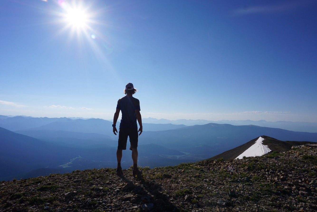
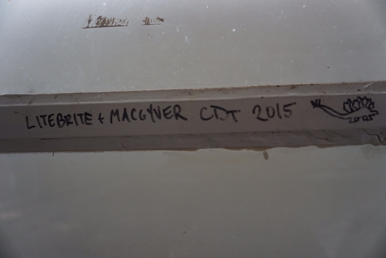
Parkview Mountain is the biggest peak in the Rabbit Ears Range and because it sits in the middle of everything, you can see more peaks from this mountain than just about anywhere. Perhaps this is why a fire lookout was constructed on top of it back in the 1950’s. This aging concrete structure is full of hiker graffiti inside, some rude, some challenging, but mostly just celebrating the moment of being up there. Our friends Hilary and Dan hiked the CDT back in 2015, and it was great to see their autograph inside the building. We added ours for posterity sake, for future generations of CDT hikers to enjoy and mock!
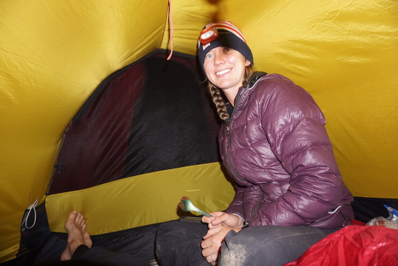
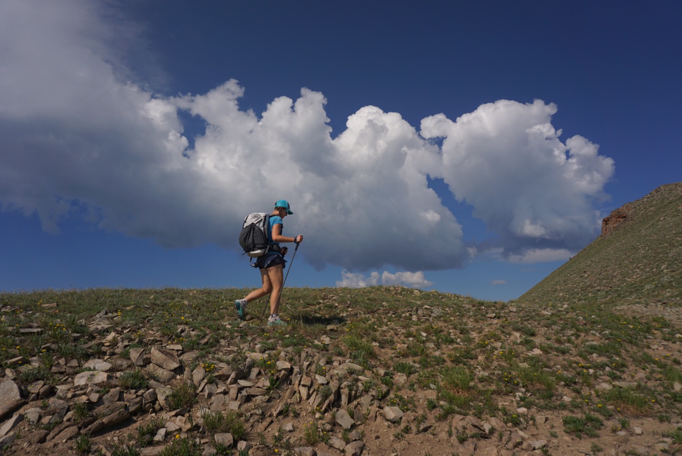
As is always the case in thru hiking, there were miles to make. This was an up-and-down day flowing along the ridge of the Continental Divide, almost all above timberline, which made the fact that thunder clouds were building rapidly disconcerting. Just as we were about to begin a six-mile long ridge above timberline, things came to a head and the sky was exploding. Not much you can do in these situations except for set up camp in the woods and wait for the storm to pass. No trail is worth dying for, and besides, afternoon naps in the rain are enjoyable! The storm lasted three hours, so we hastened out of camp at 5 pm and moved spryly up over the mountains to the next island of forest.
Had the storm not hit, we would not have had the chance to camp in one of the coolest – literally – mountain valleys in Colorado. This valley felt different, mossy, full of lush green surface vegetation with a surprisingly crisp temperature, especially since the day was so warm. Snow lingered at 9,500 feet, something we have not seen in about a month in the rest of the state. A beautiful creek meandered through the valley, and as we set up camp on a bed of kinnikinnick plants, we realized we’d stumbled onto a gem of a place. Fraser and Gunnison are renowned for being the coldest spots in Colorado, but if were to bet, I suspect this particular valley deep in the Rabbit Ear Range is colder. As an owl hooted into the night, we tucked into our sleeping bags and fell into a content slumber, the first really since Stella passed. The energy of this place made it felt like she was there.

Our cold theory was given more evidence as the next morning the creek actually had frozen ice on the surface. This seems unusual since we are in the midst of a July heat wave. Filling water bottles was a chilly, ski hat, puffy jacket affair. Soon we climbed and the cold abated. The logging roads, rolling hills and lush vegetation reminded me of the Vermont hills of my childhood, deep woods, working woods full of sap lines and sawdust.
Elaine told me many hikers struggle with the fact that the CDT is in fact a mish-mash of trails and roads. They struggle with bikes and motos being allowed in places, a far cry from the pristine purity of the Pacific Crest Trail and Appalachian Trail. And I get it – who wouldn’t want to follow a 2,000-plus mile trail of pure, undistracted nature.
But I also think this highlights a problem with a concept of “wild” places in this country. It’s all or nothing. We designate the iconic zones as Wilderness and then wax poetically from the cities about how we need to protect the land. We think of humans and Wilderness as separate. I think this is a mistake.
The CDT is a real working trail through western America. It’s a complete experience of nature and man interacting and living together – some good, some bad. Like anything in life, moderation is key. Mining and logging are part of the Rocky Mountains. Mines that decapitate entire mountains, like the Molybdenum mines in Leadville and Empire are, in my opinion, too destructive. We need to find that happy balance. Utilize, protect…don’t destroy.
Onward. This was a long day of road walking. There isn’t much to say about road walking except for that it is hard on the body and miles tick off easily. I listened to a lot of podcasts, books and music on the 31-mile jeep road, dirt road and paved road walk to Rabbit Ears Pass. We saw large herds of cattle, met a nice older couple out for a bike ride and went headlong into a steady stream of traffic heading back to the Front Range after a weekend in Steamboat. That’s one thing we won’t miss about Colorado – the crowds. It’s noticeably more busy than New Mexico, and I suspect that will hold true as we venture into Wyoming. We camped 100 feet from the highway, near Bruce’s Trail where we go for early season nordic ski training, sometimes as early as mid- October in good year, meaning we could be back soon! This part of Colorado gets some of the earliest, reliable snow in the entire state.

This morning we hitched for a ride and got picked up by the owner of Snowy Range Ski Resort, a small independently owned ski area in southern Wyoming. The most expensive lift ticket they sell is $45, compared to the $185 ticket at Steamboat. We lamented climate change, corporate ski areas and beetle kill together. He was a great guy, a real gem of a human to meet on our final approach to Steamboat.
This evening was spent with our friend Britt. Britt, Elaine and I used to work together at Neptune Mountaineering. Britt was/is an elite ultra-distance runner, and was something of a celebrity in runner crazed, ultra-competitive Boulder. Britt got fed up with the Boulder scene and has gravitated towards something more real and better for her. As we sat chatting under the July sky, watching her boyfriend’s softball team play under the Howelson Hill lights as the sun set over the plains to the west…well, she very well might be onto something. This place feels real. Steamboat is a resort tourist town, but unlike Boulder, the tourists leave, and out of the woodwork comes a community of people making an honest living in a small town like many others across this great country. Steamboat is a goood place, one we will keep on our future list. Britt is a gem of a human being and it made us feel good to see her happy and content.
We’ve loaded up with food, sent cold weather gear ahead and are ready to continue on tomorrow morning. The next time this is updated, we’ll be in Wyoming, beyond the halfway mark, heading towards the Great Divide Basin. The Basin is legendary with western travel. The Oregon Trail used to cut across it, and stories of fame and fortune are balanced with dire tales of suffering, hardship and death. It is our sincere goal to be in the former group. Northward, we continue!


Leave a comment