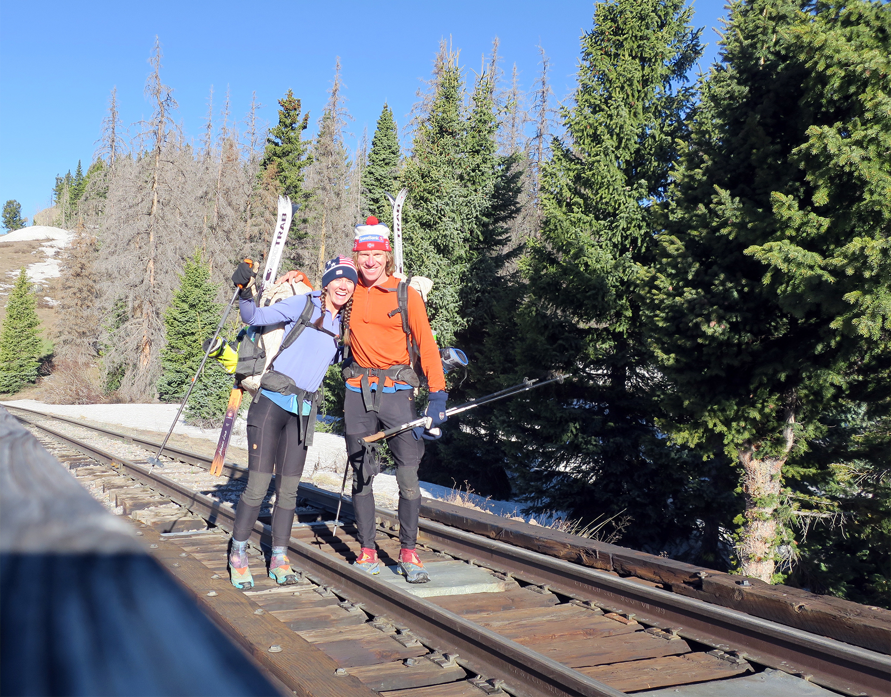
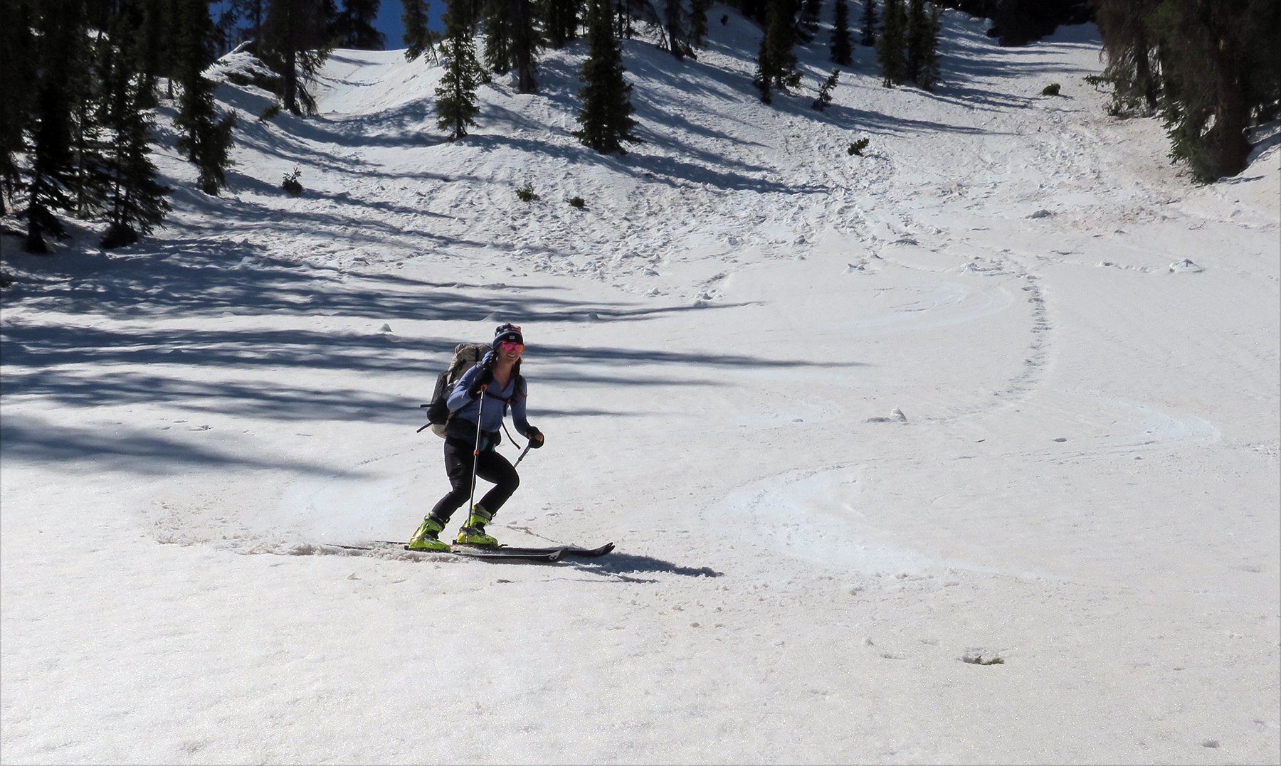
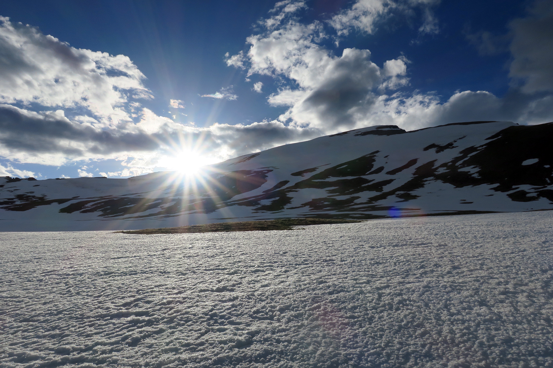
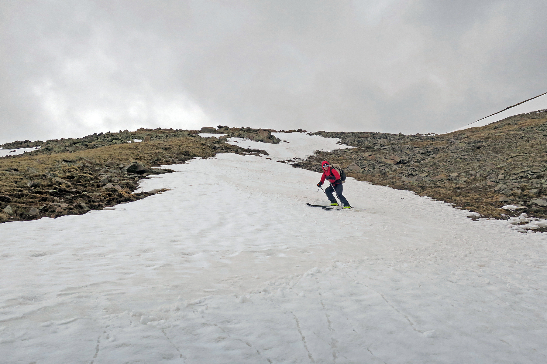
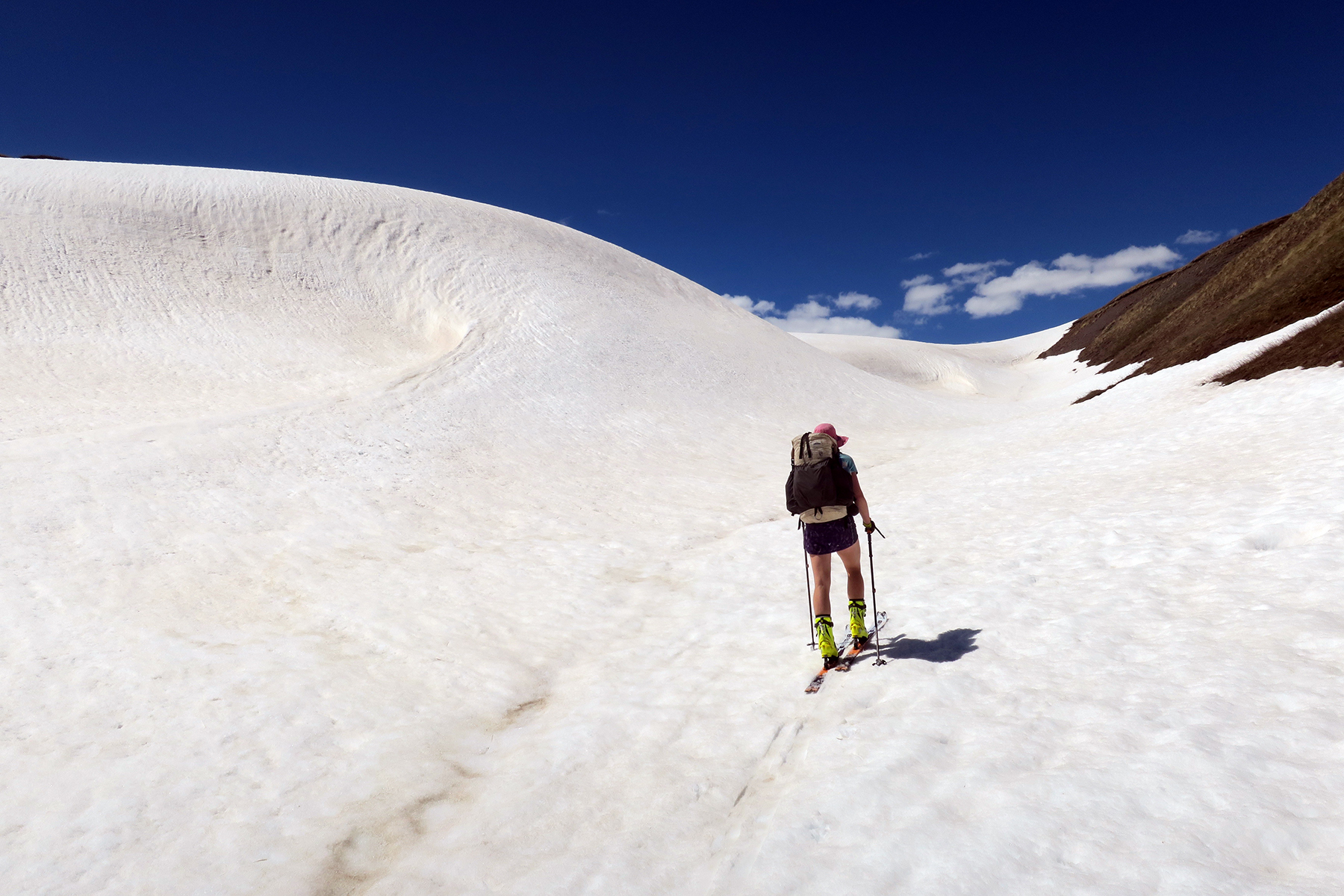
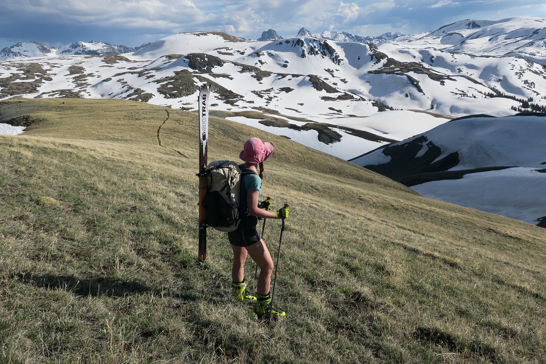
This post is for hikers and prospective skiers who might be interested in tackling the San Juans or other portions of the Continental Divide Trail on skis. In my opinion, it’s a fantastic way to go. In Europe there are a number of “Haute Routes” or high routes that are very popular ski mountaineering trips. While we stuck primarily to the trail corridor, I do believe it would be possible to create an amazing CDT skiing “Haute Route” through the San Juans. More on that later.  As part of our 2017 Continental Divide thru-hike from Mexico to Canada, my wife Snow and I elected to ski a portion of the route from Cumbres Pass on the Colorado/New Mexico border to Highway 114 in Colorado (in the general vicinity of Cochetopa Pass). In reality, the skiing ended just east of San Luis Peak, as the relatively low terrain in the Cochetopa Hills was clear of snow by early June. We skied the entire Continental Divide Trail thru the San Juan Mountains, including the loop that heads west from Wolf Creek Pass, north towards Stony Pass, and then east past Highway 149 and up and over San Luis Peak.
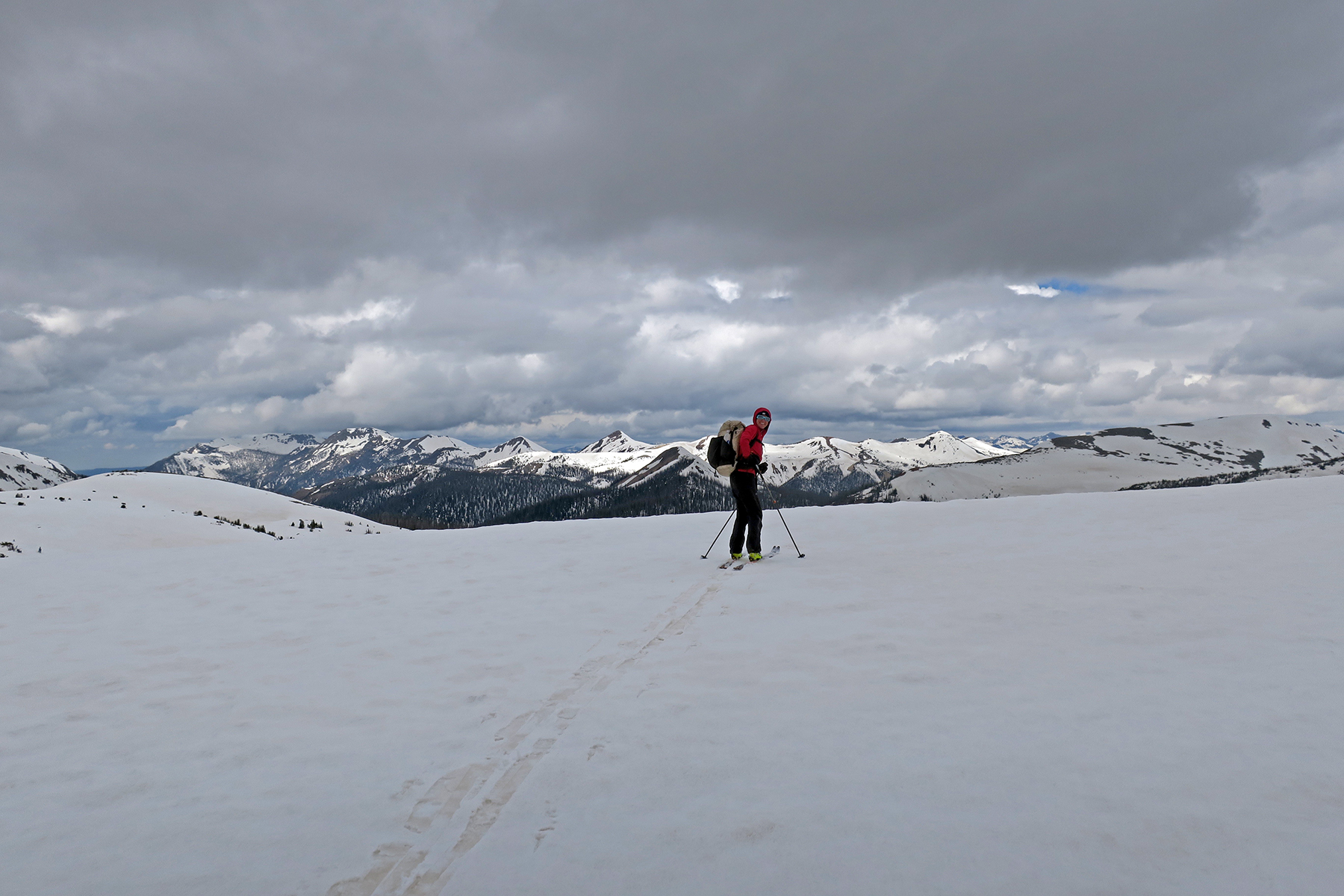
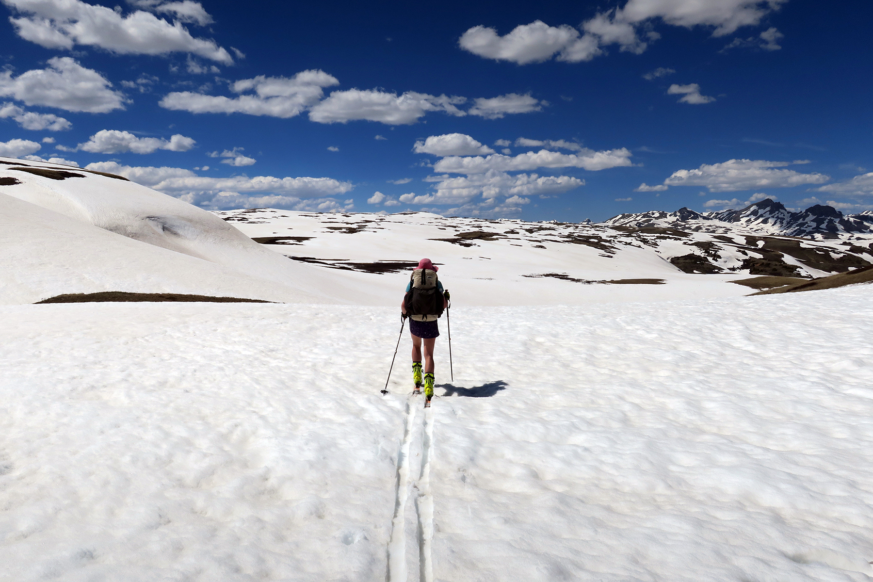
We were not the first people to bring skis into the San Juans as part of a CDT thru-hike. In 2015 She-Ra brought skis on her CDT adventure. I do not know if she brought them on the entire San Juan loop, and in the end it doesn’t matter. Hike your own hike, or in this case ski your own ski! Altogether we skied or carried skis for about 250 miles. Of the 250 miles, I’d estimate we were on the skis 70% of the time. The remainder, we walked, with skis on our back.
The winter of 2016-17 was record breaking snowpack for much of Colorado. Snowpack levels topped out to 120-130% of normal. In contrast, 2017-18 is barely at 60% snowpack. It may not be viable this year unless one plans to cross the San Juans in late-April or early May.  A bit about our skiing background for reference when planning your own adventure: Snow and I ski a lot. We spend more than 100 days each winter skiing in the backcountry. We have a alpine ski racing background and compete in nordic ski races in the winter. We’ve had some success in randonee style ski races. We live close to where the CDT passes James Peak in Colorado, so we have good familiarity with the Colorado snowpack.
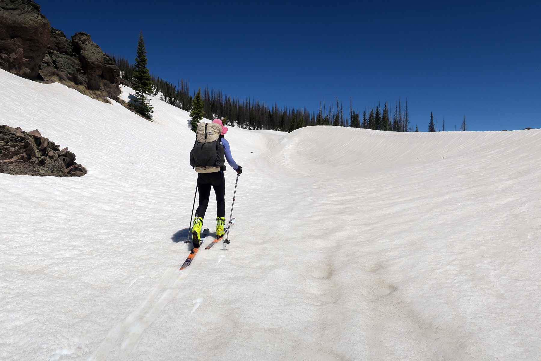
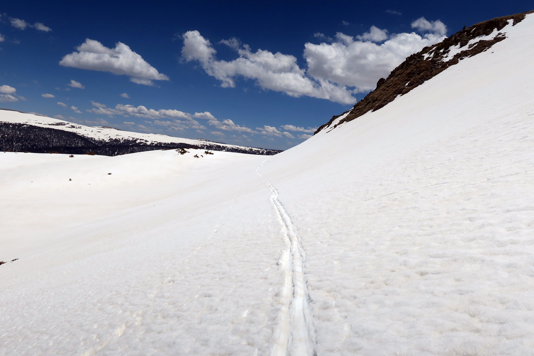
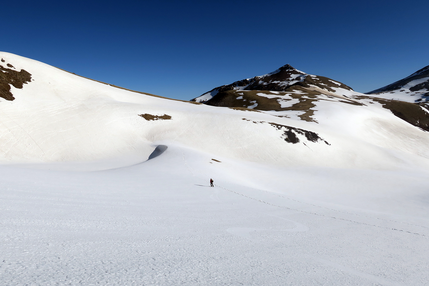
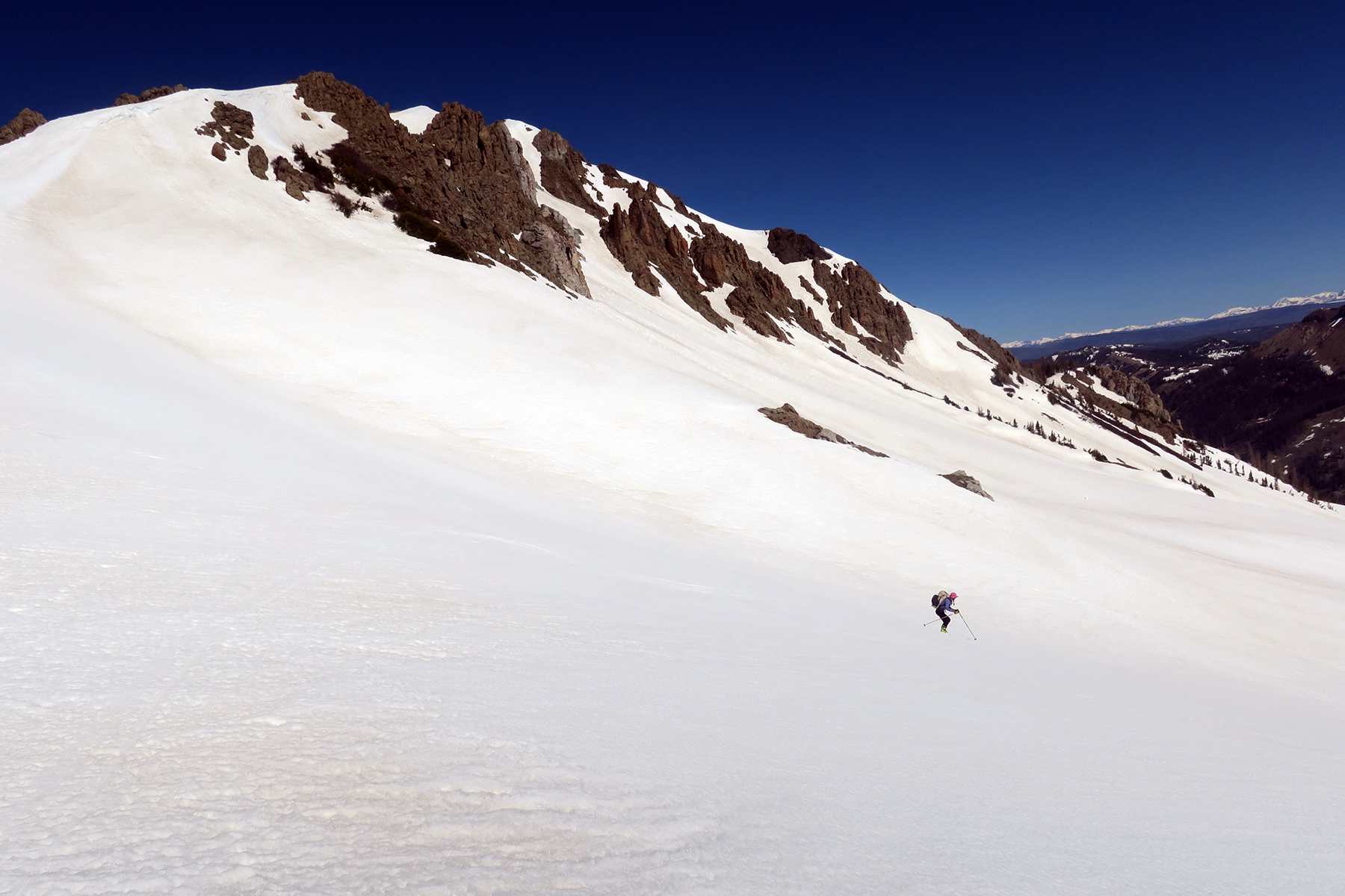
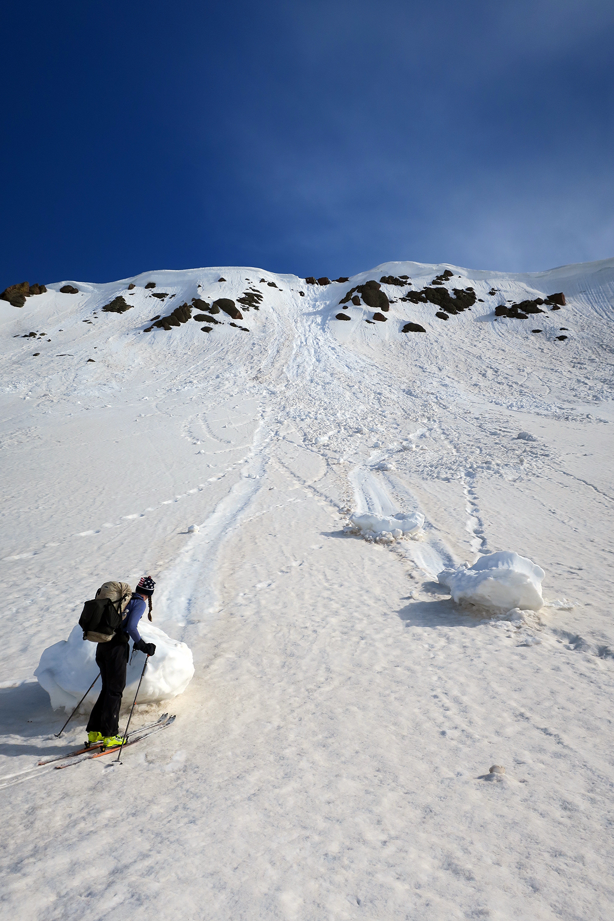
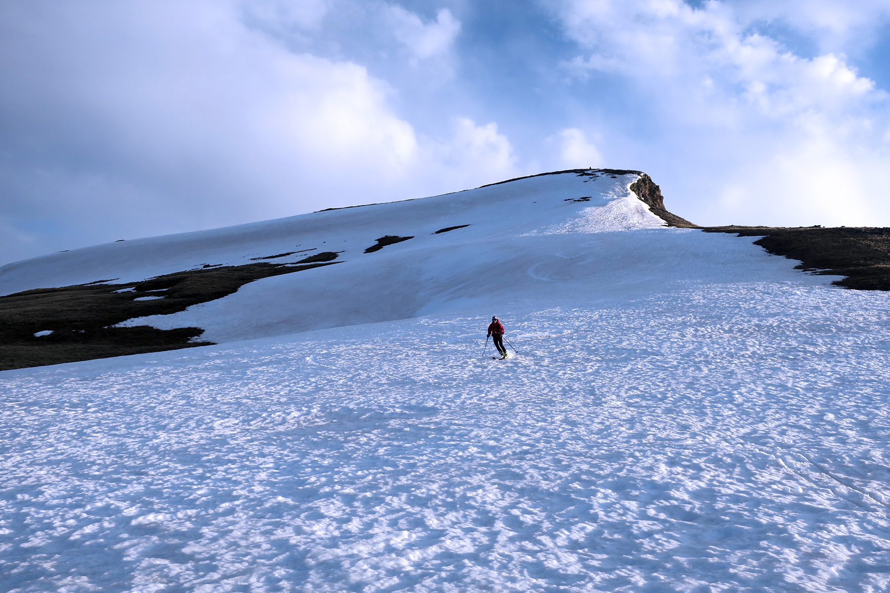
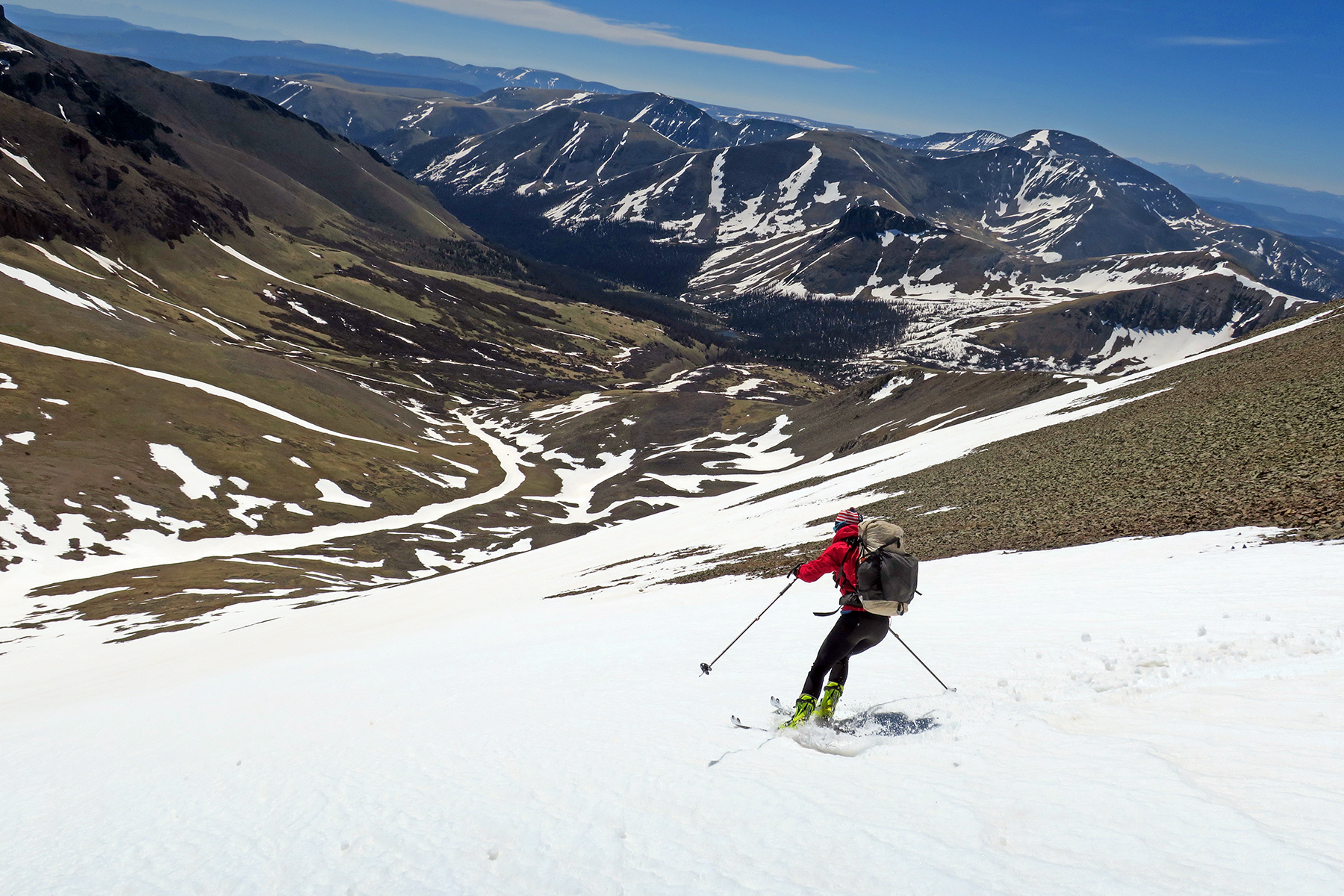
Based on trail difficulty, I will say a hiker entertaining the thought of skiing the CDT thru the San Juans would want to have a solid base of backcountry skiing in their skill set. It was harder than I thought it would be. There were a number of places where some of the skiing was quite dicey, especially in the section between Cumbres Pass and Wolf Creek. The ability to make quick hop turns and traverse steep hillsides is essential. We considered skiing on this route one large “no fall zone,” and while that is exaggerating the danger, an injury out here really isn’t an option. Best to keep it upright.
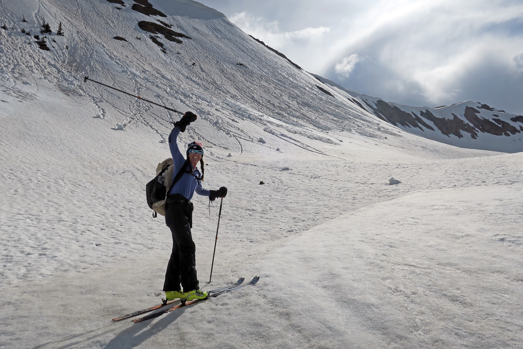
A prospective skier also should be aware that they will be managing risky terrain while trying to make big miles. We found this to be the biggest challenge and stressor. When we put our heads down and stopped thinking, we would often get ourselves into dangerous situations. When we focused on terrain management, mileage would suffer. It’s a tricky balance,The main dangers were exposure, fatigue and wet avalanche slides. A prospective skier needs to be able assess those risks and make appropriate decisions. That said, if somebody is a strong skier with good backcountry knowledge, skiing the San Juans is a viable and often joyous option.
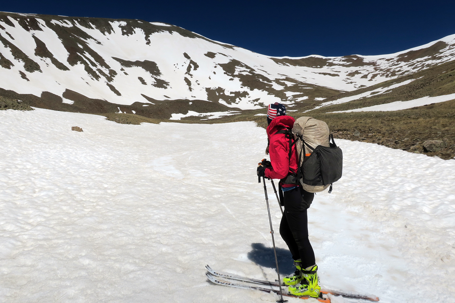
For our gear, we went as light as you can go with a fixed heel ski system. We both used Ski Trab World Cup race skis and ATK bindings. The ski weighs about 700 grams, the binding quite a bit less than that. Snow used Scarpa Alien boots and I used Dynafit PDG boots. One MAJOR mistake we made was only bringing one pair of mohair Pomoca race skins. I would recommend future skiers bring AT LEAST two pairs of skins, preferably with a tail hook. We spent a lot of valuable time drying our skins out when the glue failed, as will happen in spring-like conditions. If we’d another pair of skins each, the latter part of the trip would have been much more efficient and enjoyable.
 We ended up bringing ski crampons but never used them. We left regular crampons at home. That was a mistake. There were more than a few times when a pair of ultra-light boot crampons would have been nice. We didn’t use the ski crampons once. Next time, I would trade the ski crampons for the real thing.
We brought regular collapsable Black Diamond Ascension ski poles. We considered a BD Whippet, but in the end chose to leave this item at home. We used our Hyperlite Windrider packs, and in a perfect world I would have liked to have had a slightly beefier pack for this part of the trip. Weight will go up, and we were reaching the limit of what the Hyperlites could comfortably carry.
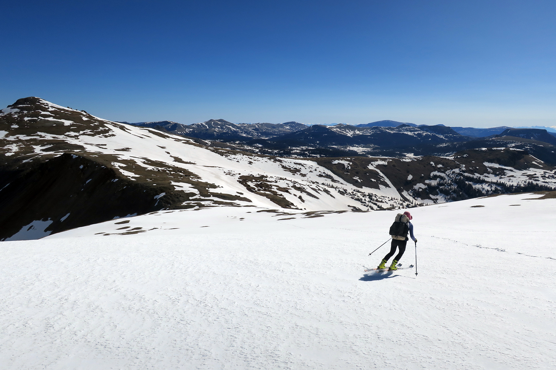
Like thru-hiking, thru-skiing is best when done as light as possible. Powder skis are unnecessary and too heavy. Skinny, light, maneuverable spring skis are best. Go for massive articulation in the boots and very simple bindings with no brakes. Watch pounds and ounces very carefully.
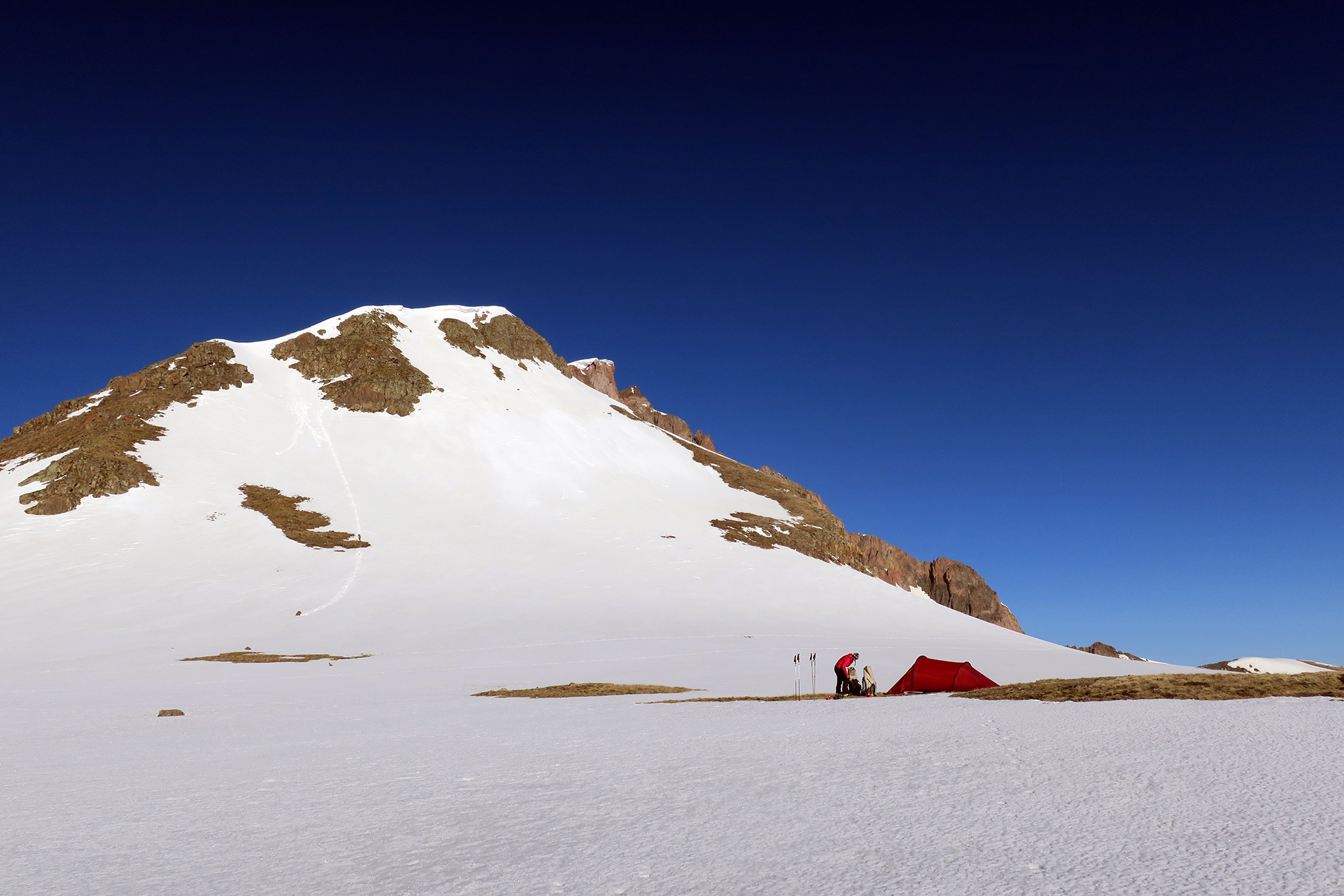
We shipped our gear to ourselves in Chama, and had some friends pick it up for us at Highway 114. Ideally, somebody would pick up skis at the eastern trailhead to San Luis Peak, but this is a very remote area, especially in late-May/early-June. As far as clothing goes, we used our regular hiking gear, with a bit warmer options for the high elevations. We did not use helmets, and this is a risk of course. I can’t recommend this tactic, but it worked for us. We left goggles at home.
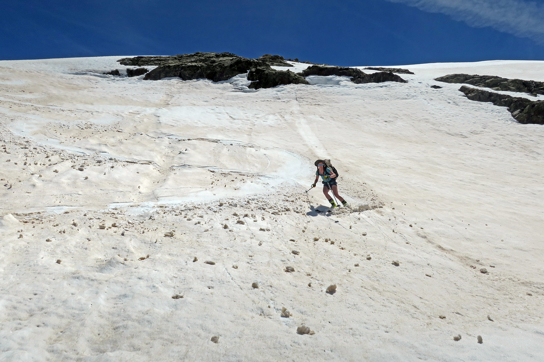
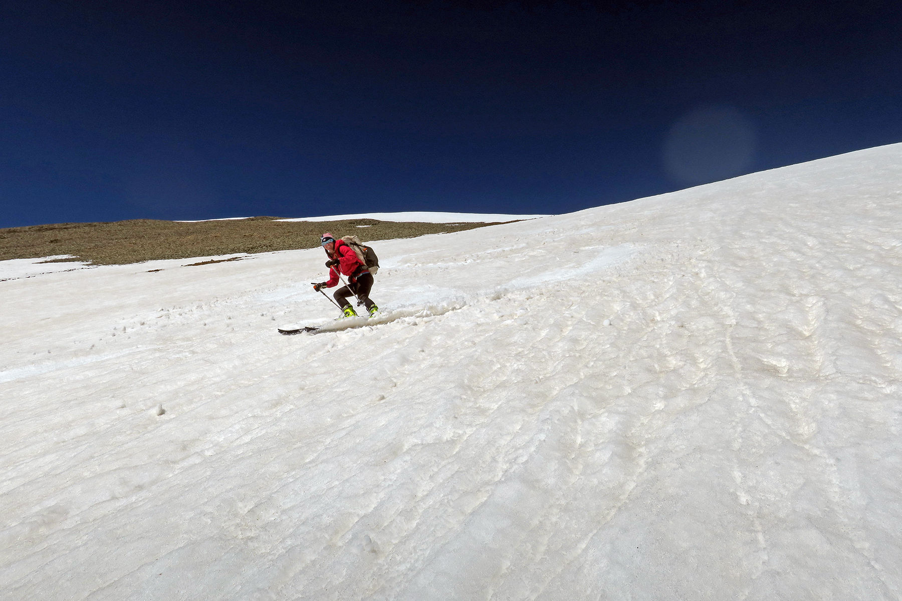
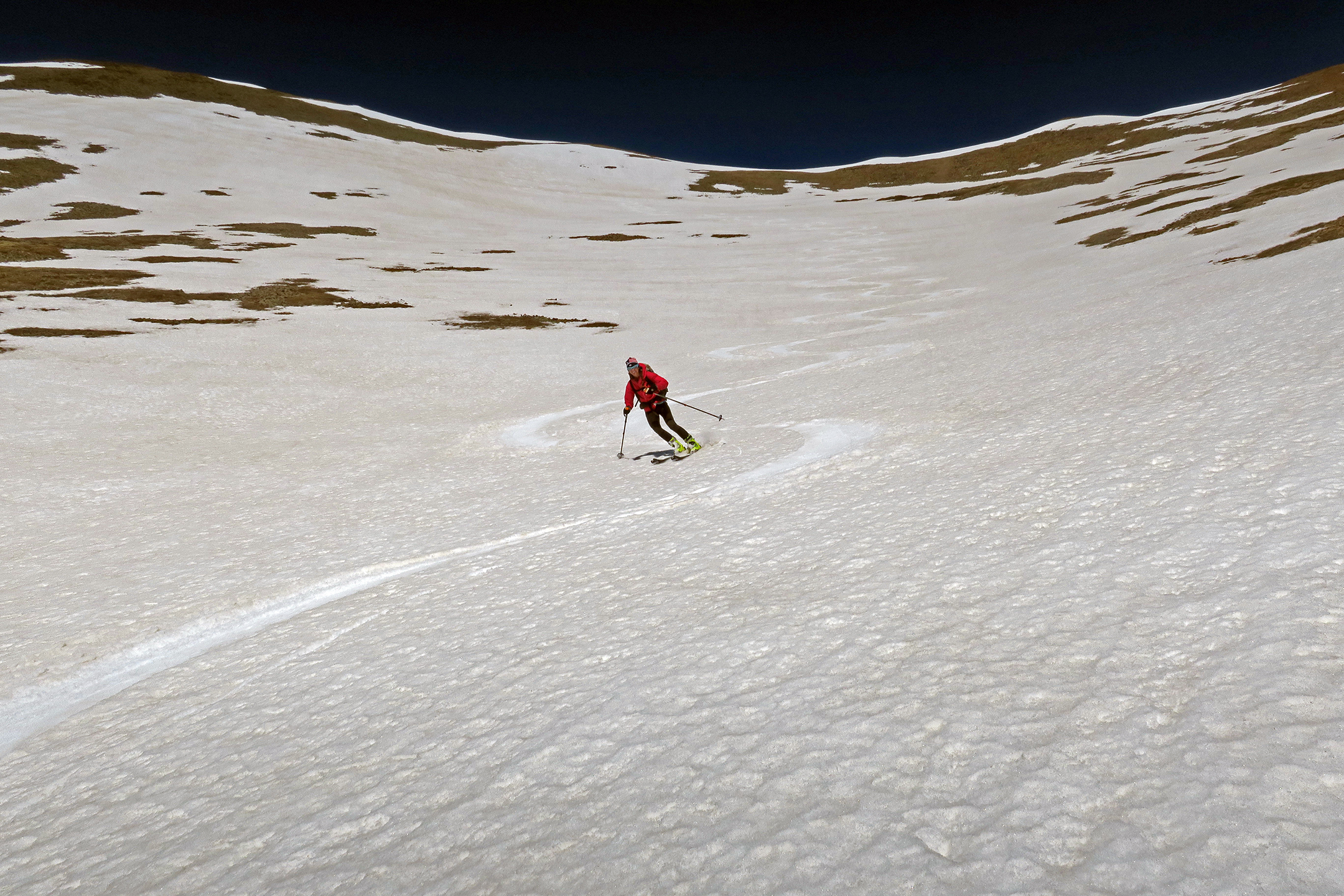
There are many advantages to having ski gear. From a pure speed and moving perspective, skiing is faster on most terrain. It’s certainly faster on downhills, slightly faster on flats, and about equal on uphills. Sidehills are safer because one has an edge to dig into the snow. Kicking steps up steep couloirs was essentially like having a stiff toed mountaineering boot, far more secure and safe than a pair of Altras. From a mental standpoint, having the potential to make a sweet ski run in a very difficult section was certainly a nice carrot on the end of a stick.
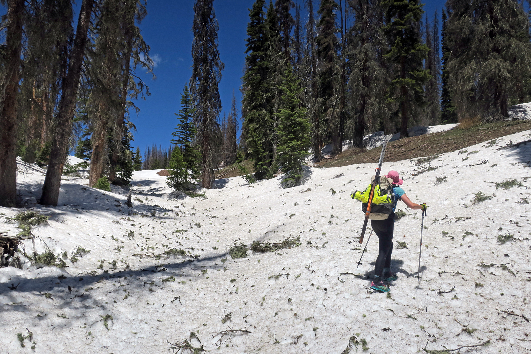
Be aware though: bushwhacking is undeniably slower. Hopping deadfall with skis hanging off the pack to your knees is kind of like a Chinese torture test. We also lost a lot of time because of our skin situation. We spent hours and hours drying skins and postholing because our skin glue failed and we were forced to walk. Again, bring at least two pairs of skins.
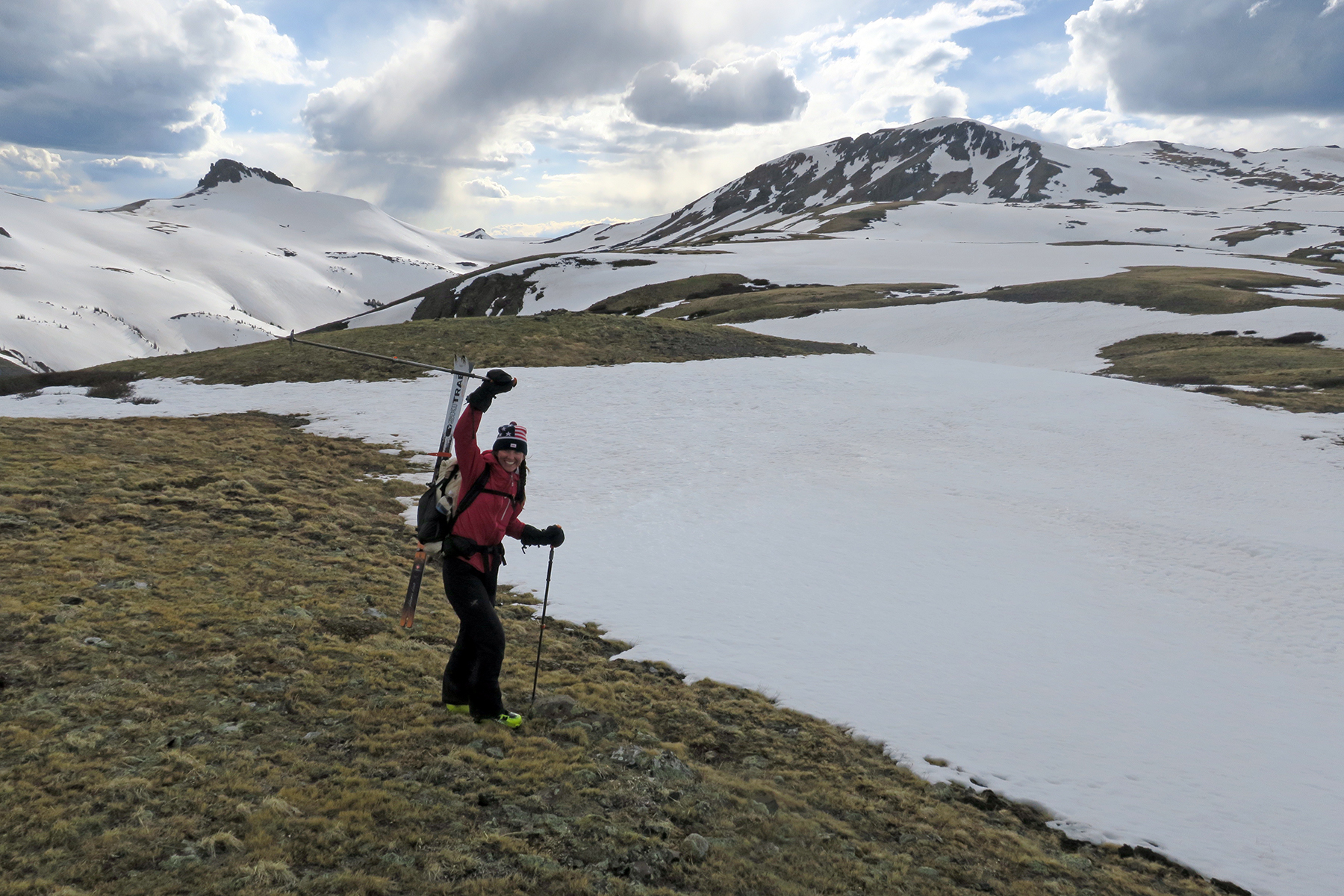
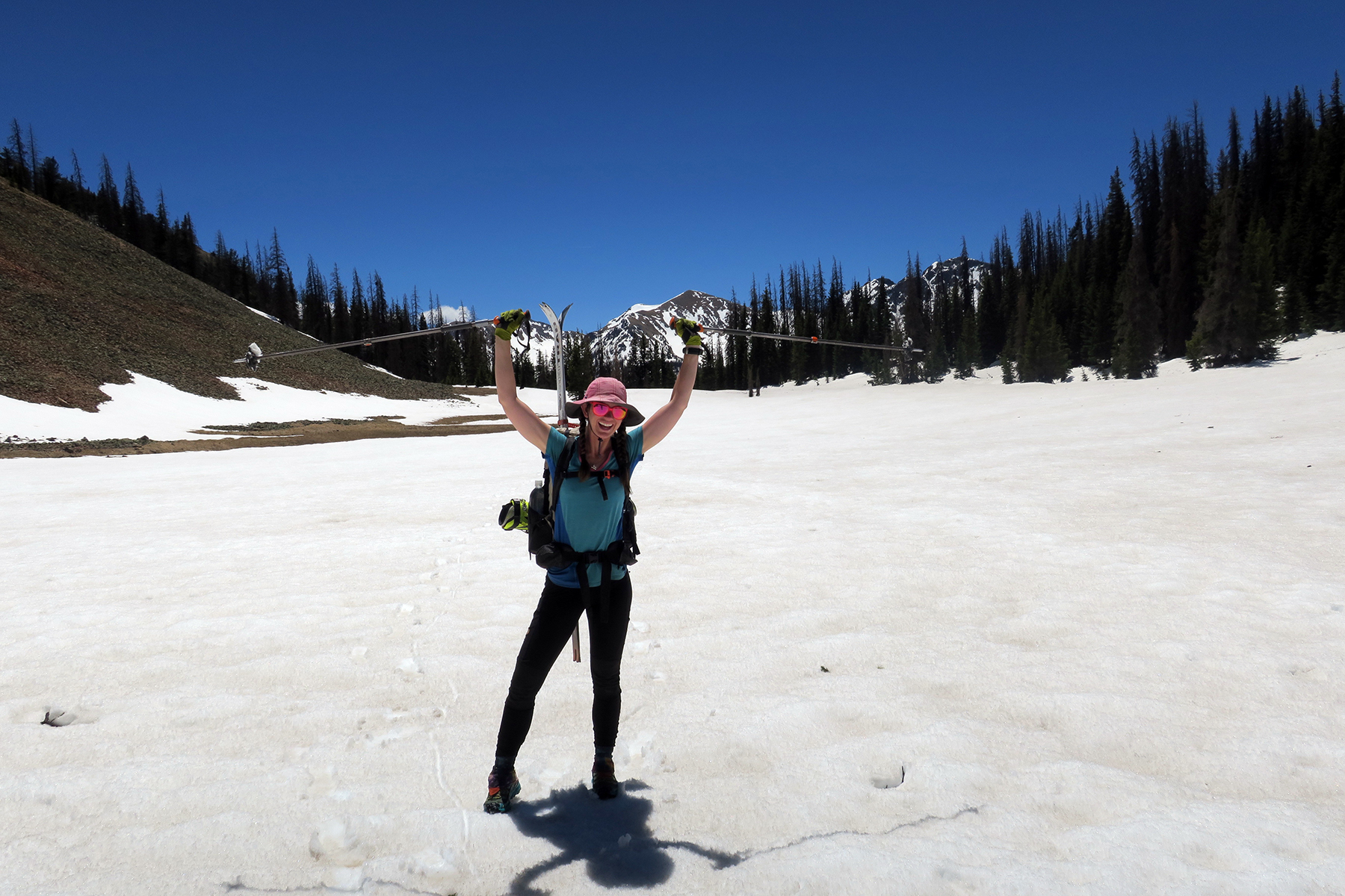
We started our ski on May 26 and technically ended it with a ski off the 14er San Luis Peak on June 9. This was about 10-14 calendar days later than we’d hoped to be there. An emergency at home necessitated we leave the trail in Grants for about 10 days in late-April. Had this not happened, our ski would have almost certainly been earlier, faster, more wintery and less slushy.
We had some amazing moments and some rather hairball days. I’ve decided to include some brief daily excerpts from the ski across the San Juans on the Continental Divide Trail. Photos from the described day follow.
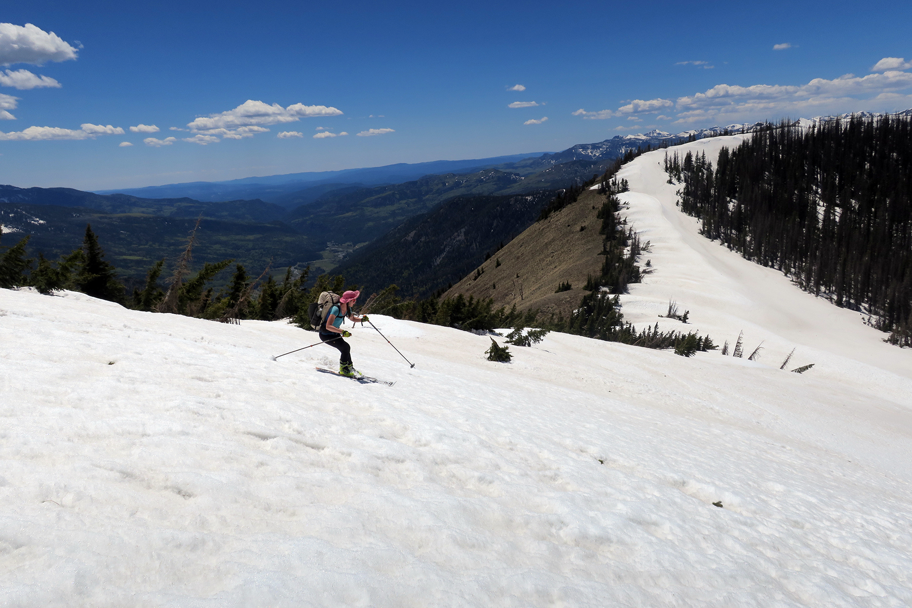
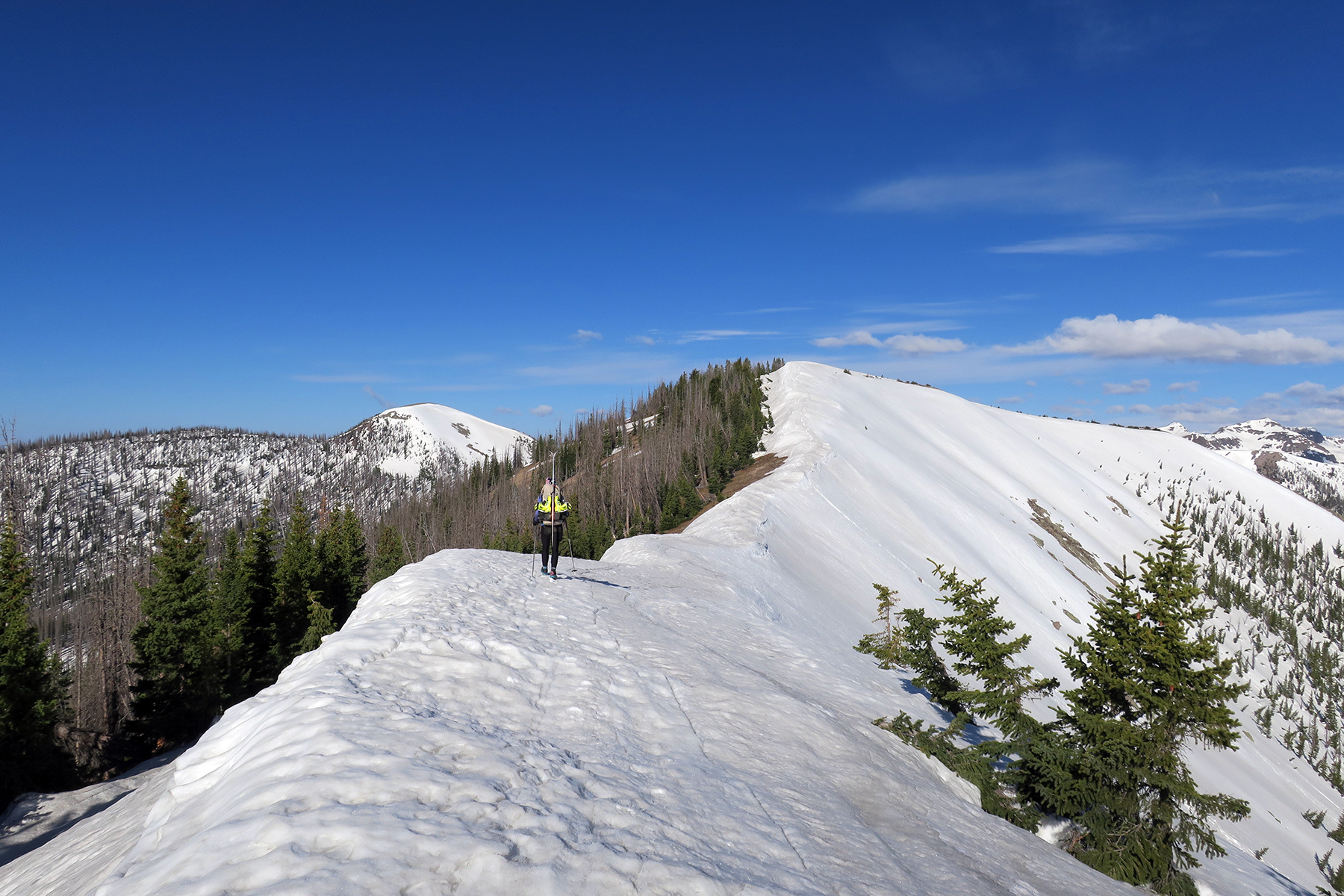
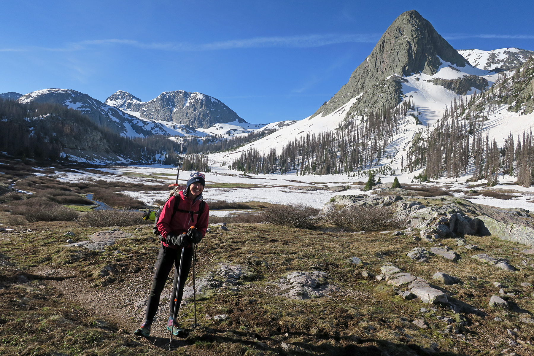
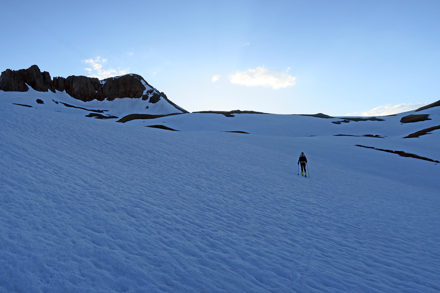
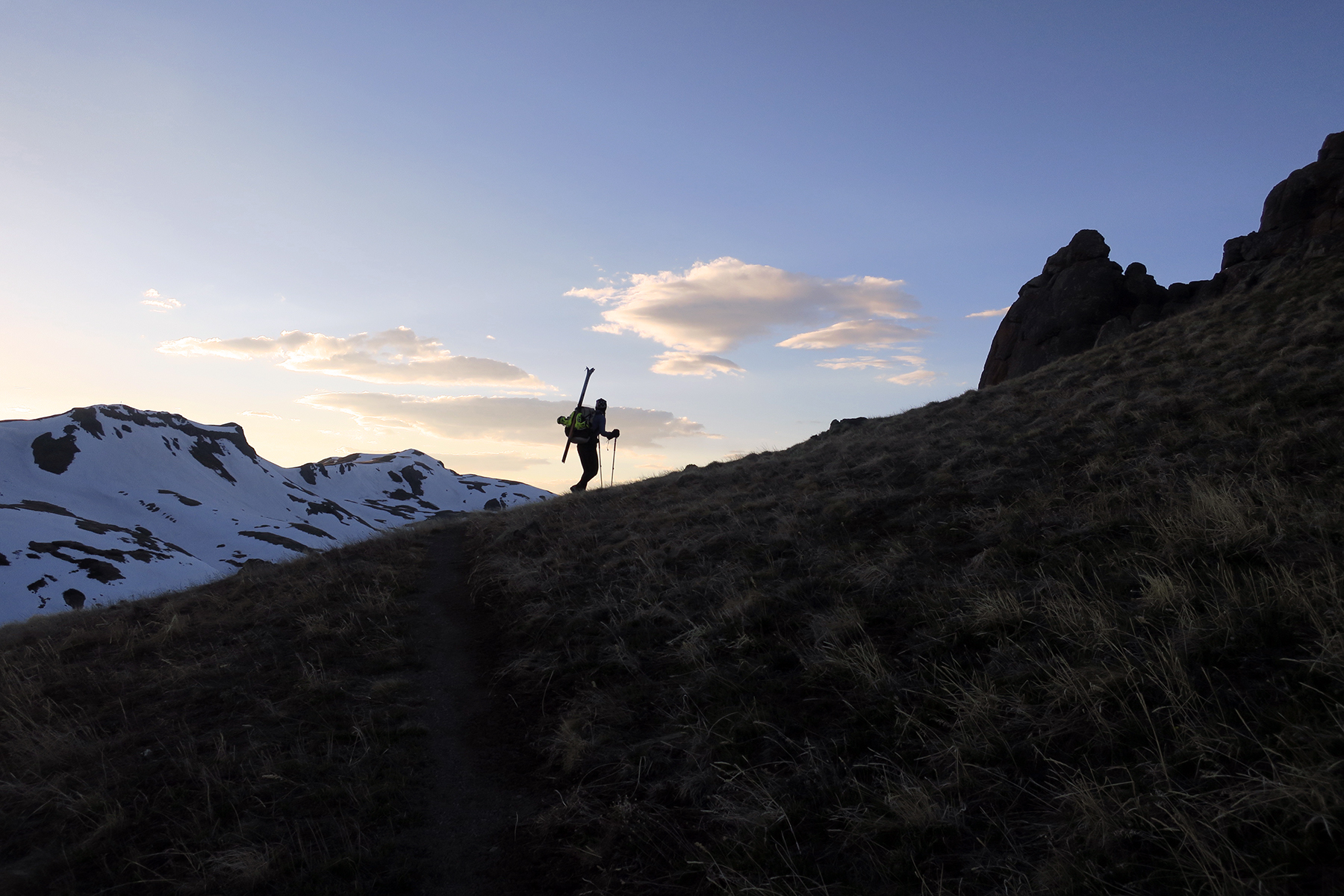
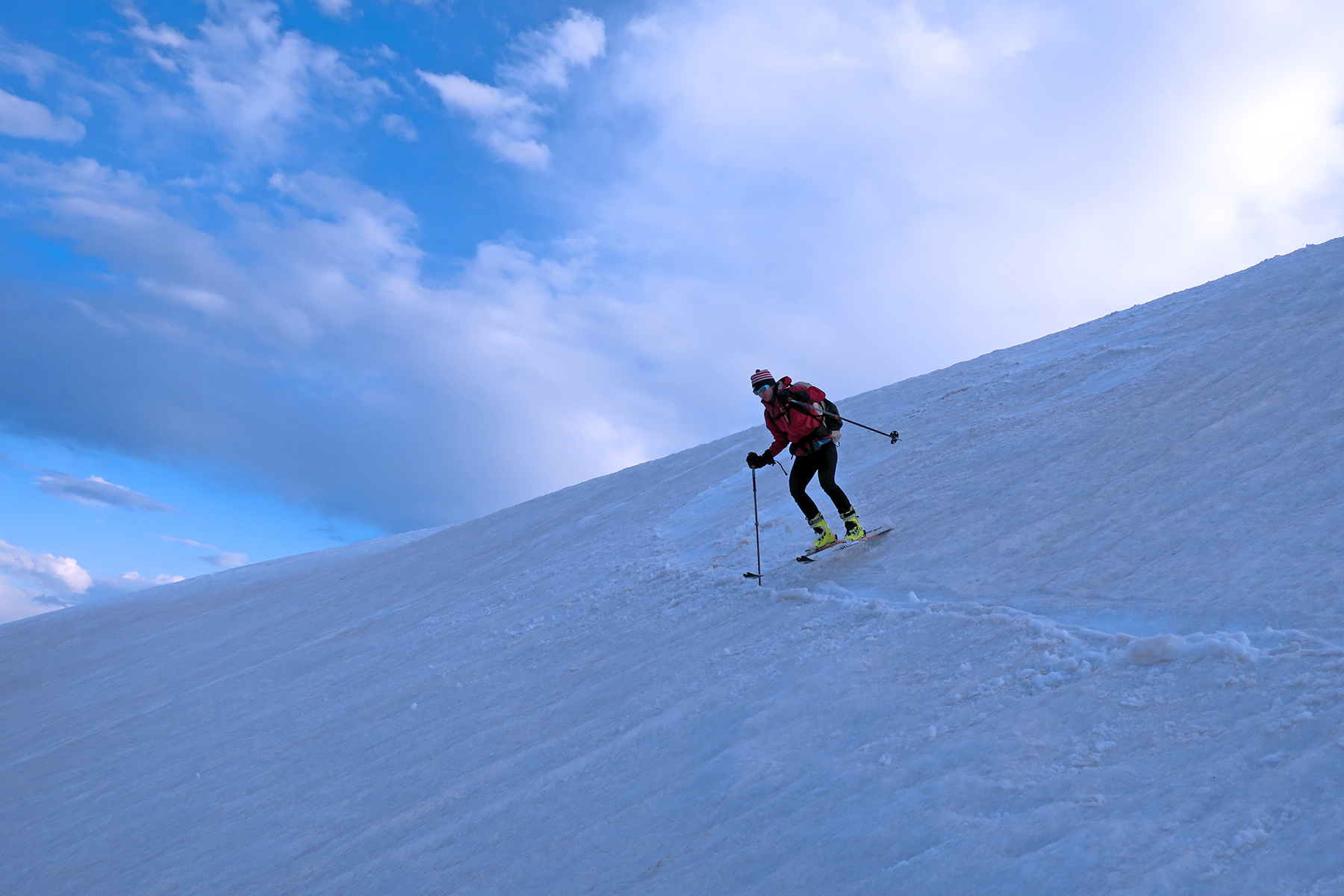
May 26 – Cumbres Pass to a saddle about a mile south of Blue Lake. 24 miles, 6007 feet of climbing, 4482 feet of descending. Switched to skis about a mile into the hike and kept them on the whole time. It is VERY easy to get sucked down the hill by gravity, end up below the trail, and have to hike back up. Day was sloggy, but there was a sporty 35-40° snow climb and very heinous sidehill traverse into camp through extremely thick woods. Inside right ankle was quite sore by day’s end because of an extensive amount of side hilling.
 May 27 – Blue Lake area to a high saddle just east of Summit Peak. 17 miles, 6414 feet of climbing, 5427 feet of descending. One of the more epic days I’ve ever had on skis, or for that matter, any outdoor activity. Started off getting sucked down too far and having to wander around finding Blue Lake (frozen solid, had to break ice to get water). Climbed a ridge, decided to drop down to a valley and ended up skiing down an extremely steep slope, probably 45°, in snow too soft. Too dangerous to repeat again. Had we headed further up the ridge and followed the trail exactly we actually would have found a better slope, albeit after a rather dangerous ridgeline climb (would have LOVED crampons here, frozen solid). A nice switchback ascent to a ridge and back down a beautiful couloir to the headwaters of the North Fork of the Conejos River. Perhaps the best ski of the entire endeavor. Sure beat walking. Then, bushwhacking through woods, to a saddle and then a very dicey sidehill crossing on solid snow above a huge cliff (crampons again please).

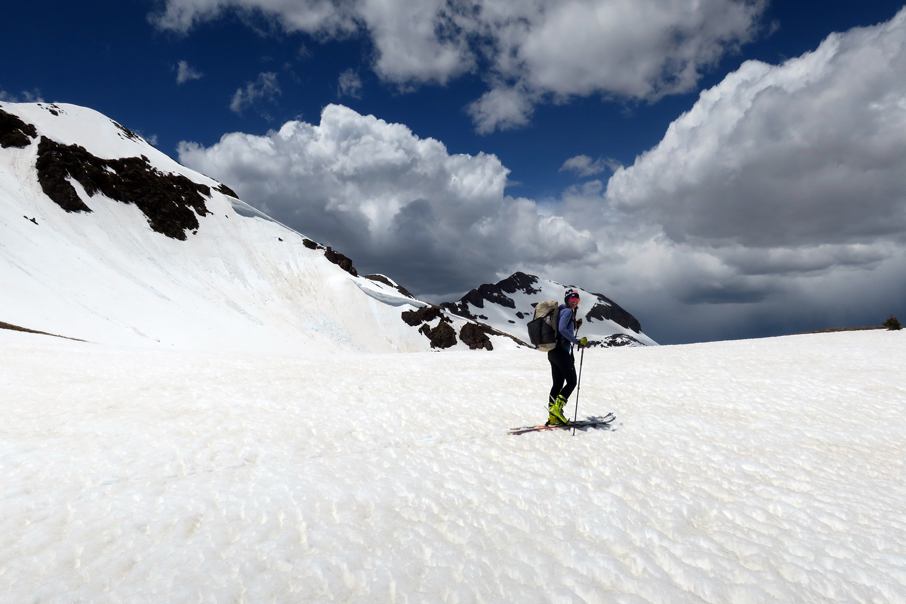
 On the ridgeline south of the Adams Fork of the Conejos, things got silly. Instead of being relegated to a long traverse around the edge of the mountain, we elected to climb directly up to the ridge in hopes of continuing on. This proved impossible – Class IV/V climbing along the ridge to the west, plus storms moving in. Did a risky traverse along the north side of the ridge. Evidence of wet slides everywhere off the cliffs above, but what were we to do? If we waited, the slope would have been bullet proof in the morning and likely more dangerous. Slope at top was probably 45° but we were traversing so as long as we had a good edge hold, we were fine. On the flip side, we covered this ground in about 10 minutes…would have been hours of posthole hiking. Heard rumors after that a number of people fell here, some got hurt. So in that regard, skiing was safer. Rest at Adams Fork, then elected to climb straight up a couloir to access the large flattish area north of Adams Fork. While not exactly fast, ski boots made kicking steps in the snow and loose dirt viable. About an hour climb, then a traverse to the ridge below below Summit Peak where we pitched camp. Lightning in the distance, elk on the horizon. Days like this are the ones you remember before your last breath.
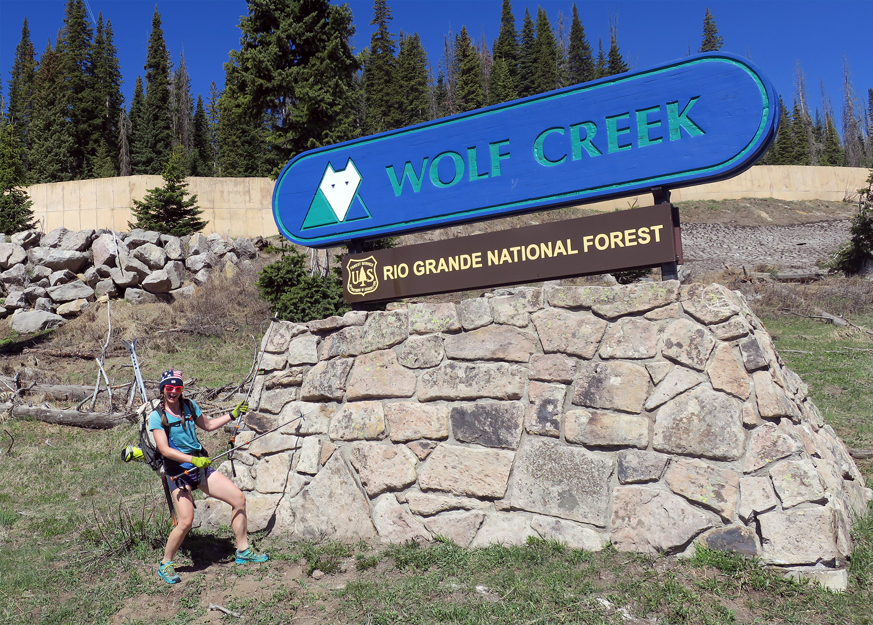
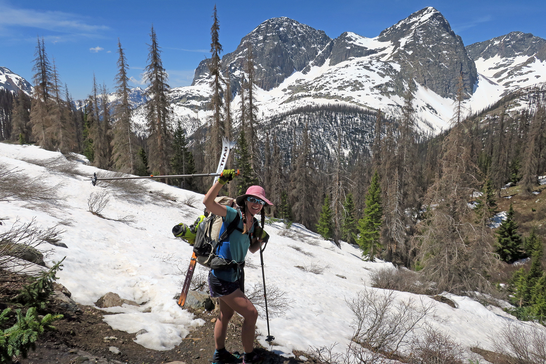
 May 28 – Summit Peak to top of Alberta Peak at Wolf Creek Ski Area. 18 miles, 4475 feet of climbing, 5400 feet of descending. Lots of high alpine traversing and skiing around a massive bowl. Passed Montezuma Peak, Long Trek Peak before deciding we were a bit bored with the nordic style terrain. Dropped down a north facing bowl/couloir that eventually led to Elwood Creek. This is something about skiing – you will end up choosing straight up-and-down over traverses. You may rack up a lot of vertical as a result. Ended up hiking for most of the rest of the day as terrain was either very wooded, snowless or on a high ridgeline. An exception was a very fun snow climb and descent just north of Bonito Pass. Ended up meeting up with Frank, and hiked a steep ridge with him. While not totally necessary, skis did make the descent off the ridge a bit more fun, and I would argue more safe. Decided to skin to the top of Wolf Creek Ski Resort to end the day in hopes of a fun morning descent down Alberta Peak. Ended up camping on the upper ramp of the Alberta Chair Lift. Great day of skiing the CDT.
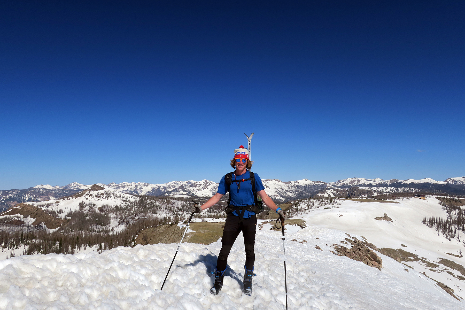
 May 29 – Alberta Peak to Wolf Creek Pass – 5 miles, 250 feet of climbing, 2,500 feet of descending. Are there better things in life than starting the morning off with a climb to the top of a mountain and a ski back down? I’d argue no. This was the reward for the hardships of the previous three days. Stellar descent back down to Highway 160, felt like mini-supermen and women. Ski the CDT! Spend the next day resting in Pagosa Springs.
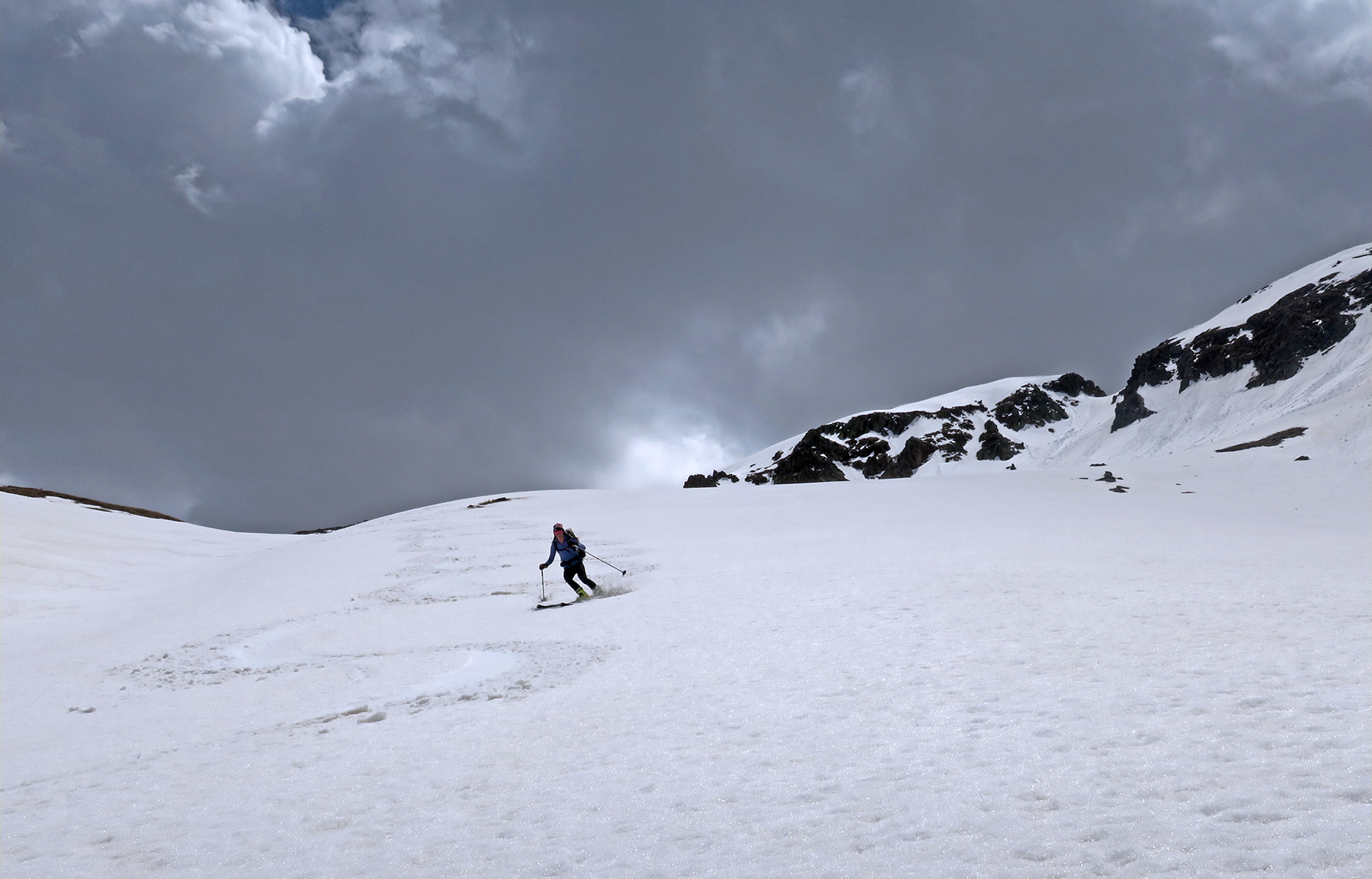
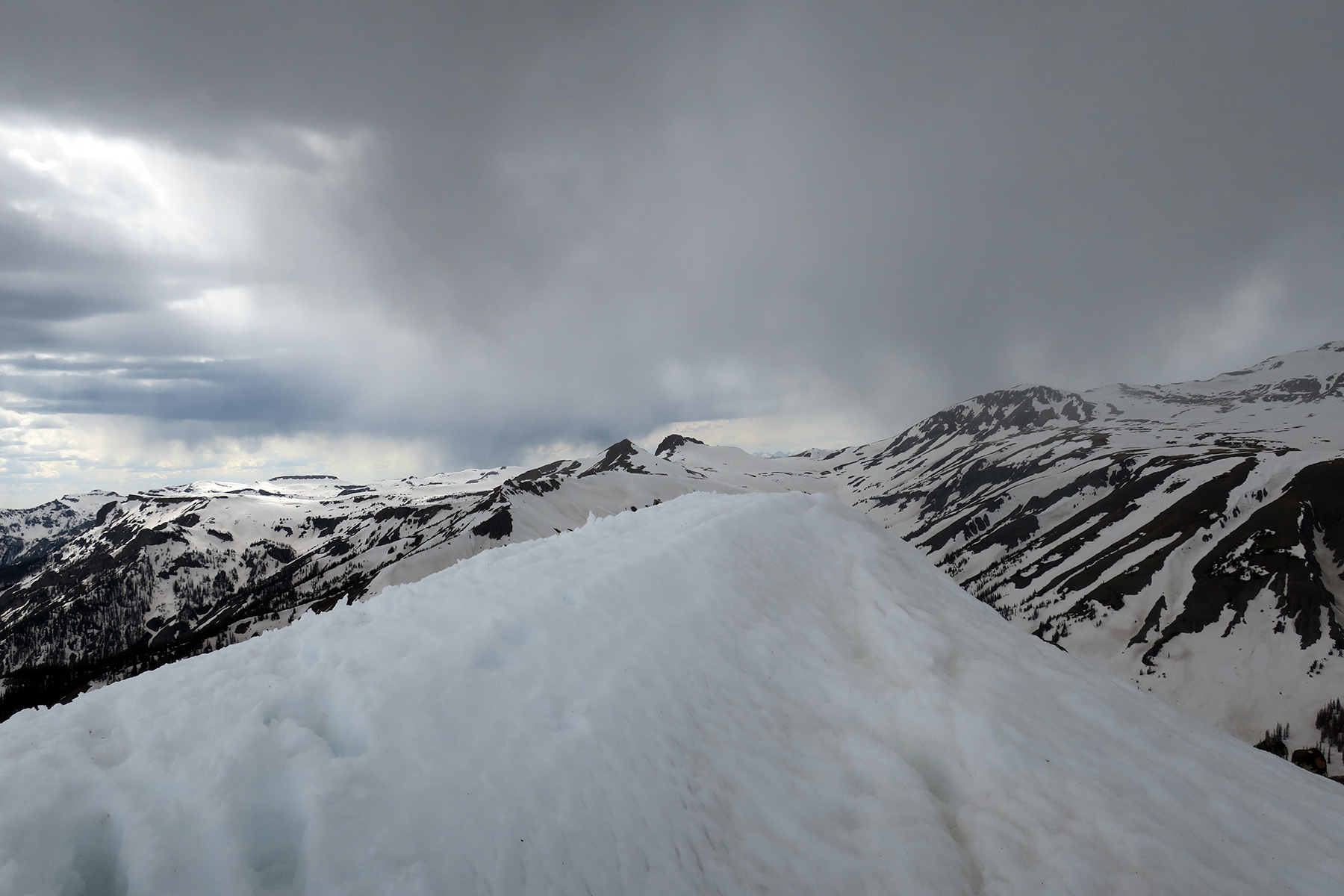
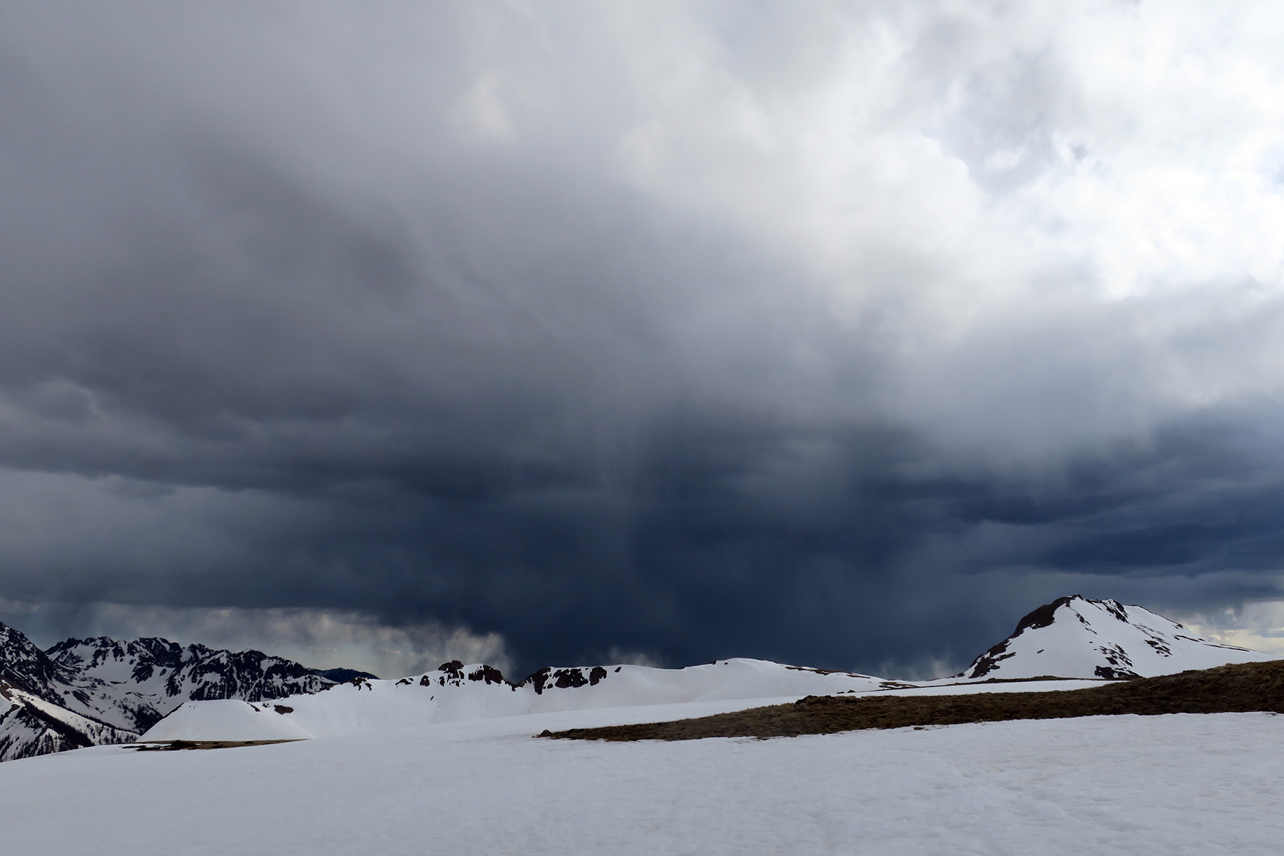
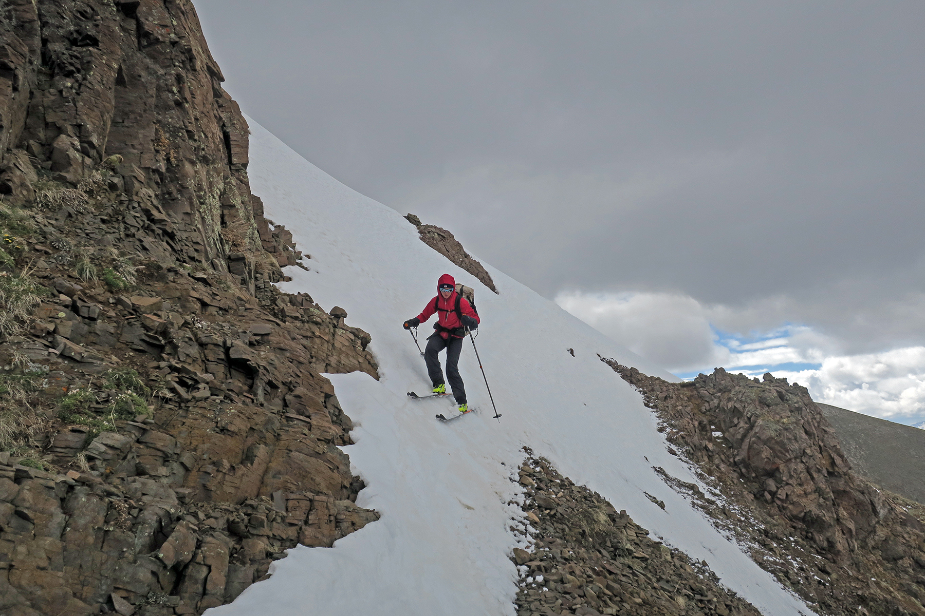
 May 31 – Wolf Creek Pass to a few miles north (west) of the Creede Cutoff. 14 miles, 5089 feet of climbing, 4190 feet of descending. Tough, tough day. Started off with a very dicey/class 3/4 ridgeline traverse, then some interesting skiing and climbing back up in the vicinity of Mount Hope. The snow here seems much more rotton, blow-out-your-ACL type skiing. Plus, slush wrecking havoc on skins. Mentally very tough. Weather cloudy, thunderstorms, rain, white-out conditions, wet. An epic 14 miles.
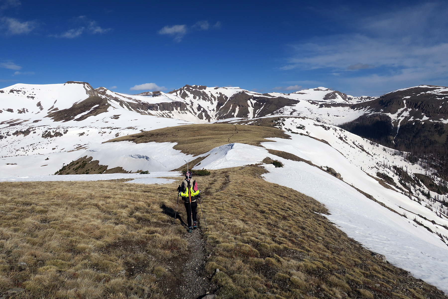
June 1 – Point North of Creede Cutoff to just before ridgeline that leads to the Knife Edge. 17 miles, 4,000 feet climbing, 4,100 feet descending. Very hard, frustrating, epic day. Body exhausted. Big, steep climb up SE of South River Peak. Pretty much a real, legit snow climb. I don’t know how people can safely do this in Altras. If you fall, you’re fucked. Even with ski boots, it was attention grabbing. Across a few VERY steep sidehills. Frozen. Elected to put on skis. Not much of a problem on skis with sharp edges, again a BIG problem if we were just wearing shoes. So skis were very beneficial and safer here. Total skin failure – wasted an hour drying them. Late in the day, snow absolute shit. Punchy, even on skis. Massive wet slides above us from previous days. Not the safest place to be in the world. We kept moving as briskly as we could. Then, a sidehill climb and back on skis on a burned, wooded ridgeline. Exhausted. Set up wet tent, questioned the reason for taking this route.
 June 2 – East of Knife Edge Ridgeline Camp to Elk Meadow near Cimarrona Peak. 20 miles, 3200 feet of climbing, 5500 feet of descending. Easy hiking early on frozen ridgeline, then onto the much hyped Knife Edge. Easy, quick snow climb (although crampons would have been nice), and a set-the-edge, don’t look down traverse. Much, much easier on skis I would imagine. Harder terrain for sure on day two out of Cumbres Pass. Too warm of a day, very dangerous. Snow got rotten again, skins failing, avalanches ripping off rocks above us, so decided to lengthen the route and head south directly off ridgeline to Williams Fork drainage. Skied a bit, hill ended up turning into a cliff, butt-slid down a waterfall, made an extremely sketchy descent to valley floor. Wouldn’t have minded having a 30 meter section of 7 mm rope. Valley floor looked like a cyclone had hit. Terrible deadfall, made worse with skis on the back. So much deadfall. Saw an elk with a broken leg. Tough winter here. Hiked to Palisades Camp, but not before some of the worst deadfall I’ve ever seen in my life! But then, beauty, forests, good to see some vegetation and wildlife. Headed up Weminuche Creek, past Mile Creek, camped in an absolutely beautiful Aspen grove. Why does the CDT not offer this as an alternate? Snow covered early season trail is no match for the spring beauty of the lower Weminuche Wilderness. Elk everywhere. A bit longer than the actual trail, but give people this option instead of the Creede Cutoff which misses the absolute best of Colorado. Glorious evening.
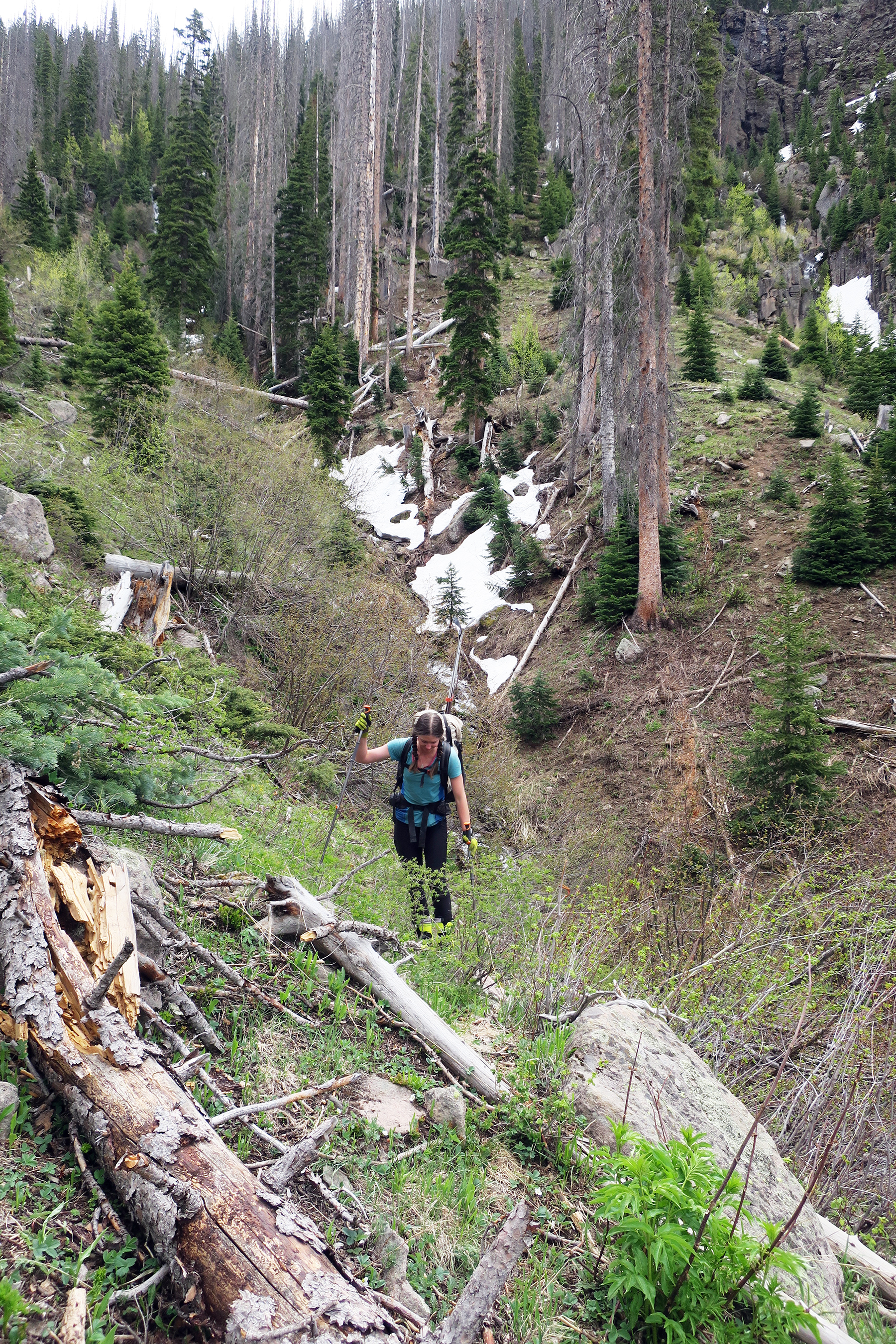
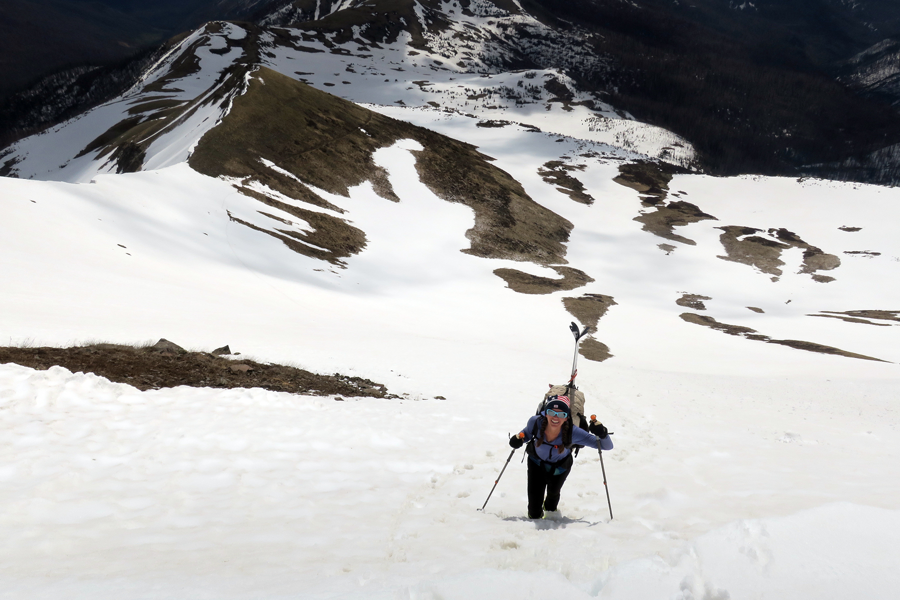
 June 3- Elk Meadow to headwaters of Rock Creek – 22 miles, 4,344 feet of climbing, 2667 feet of descending. Nice morning walk, but the crossing of the slow moving Pinos River was very deep (chest deep, murky so can’t see the bottom), and some of the crossing streams coming from mountains due west were very swift and sketchy. Long, long, long climb to eventual headwaters of Flint Creek. Fairly smooth going at first, bushwhack hell with postholing galore after. Lots of elk. Post holed right to the top of the pass, probably would have been better off skiing but too lazy to take skis off the back. Then, a major mistake. Put on skis, enjoying blissful descent down Rock Creek, decided to traverse to south side of river where snow line went further. Snow starting rotting out and eventually ended. Turns out, we skied a mile past where the trail easily crossing the creek. Light failing, incredibly fast moving stream, deep, very dangerous. Made up mind to do tandem crossing, pulled off pants (it was cold and late) and first step almost was the end of us. Aborted mission, went back on shore, had a emotional screaming session that we didn’t die. Set up a shitty, adrenaline filled camp, broke a stake, made pact not to keep pushing these limits each and every day. The daily adrenaline and danger is simply too much to maintain. Trying to do risk management of dangerous, snow covered, icy mountain terrain on skis and clock big miles do not go hand-in-hand. We will get hurt if we keep this up.
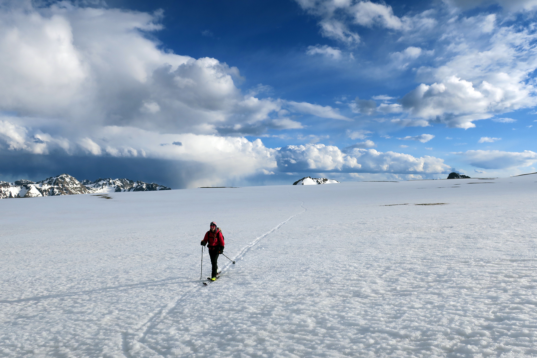
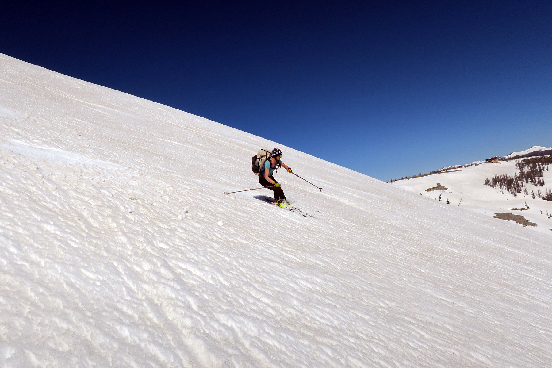
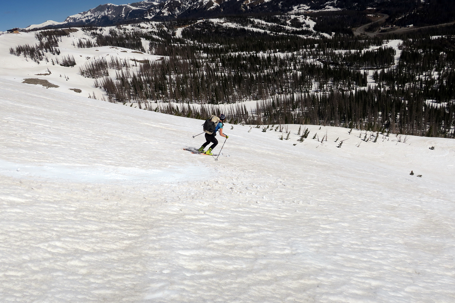
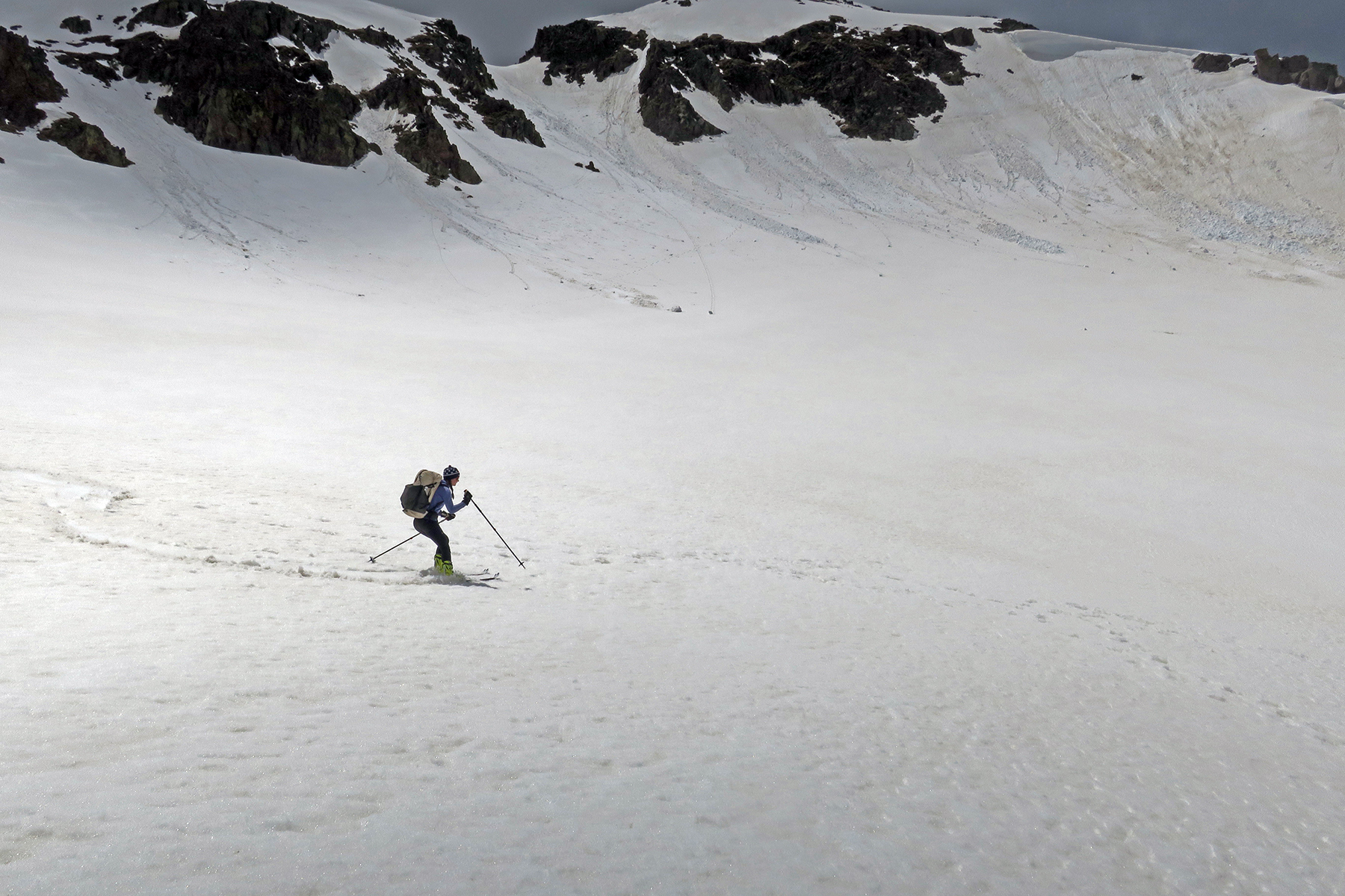
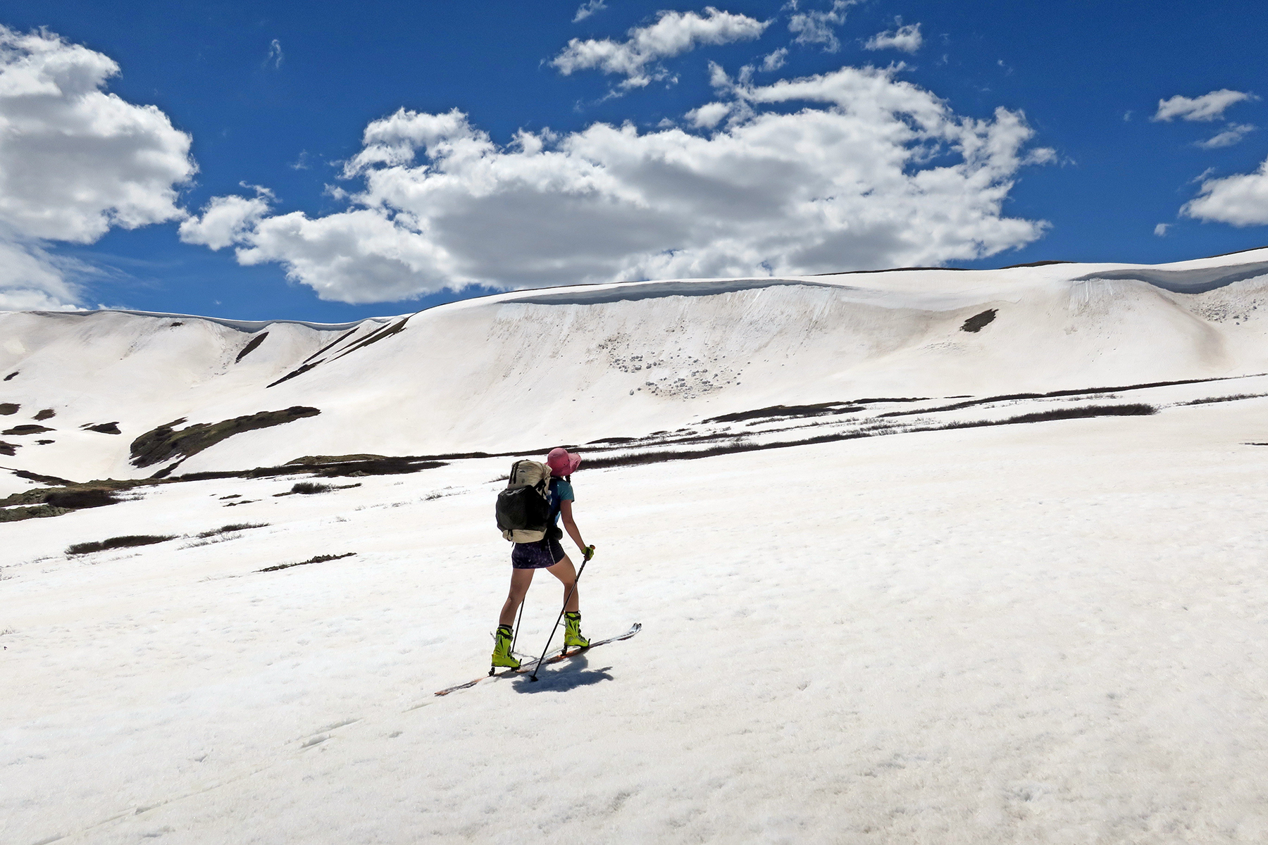
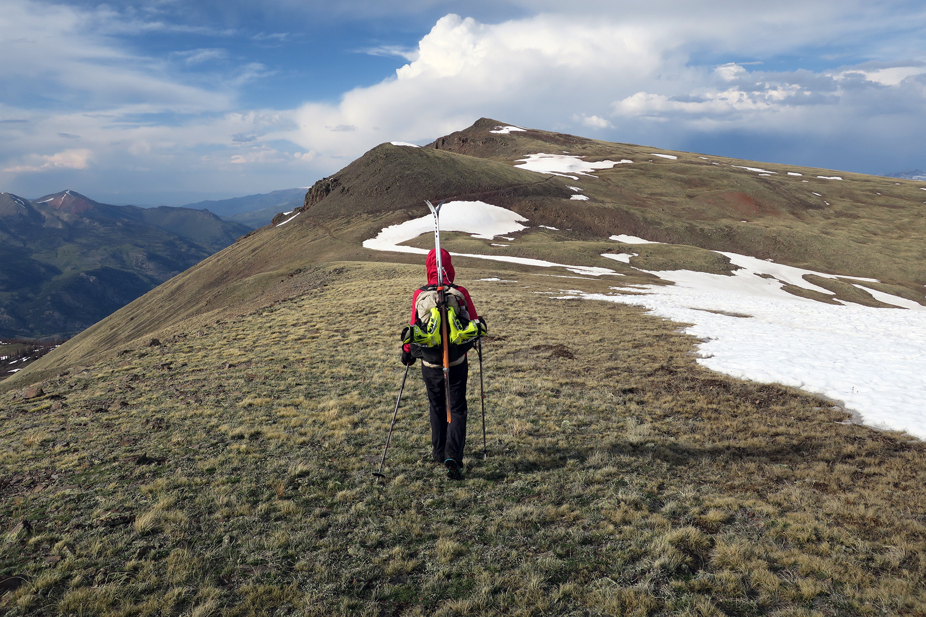
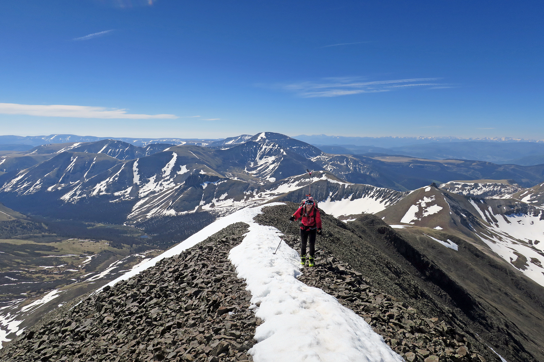
June 4 – Headwaters of Rock Creek to lake just north of Stony Pass. 20 miles, 5,177 feet of climbing, 3,691 feet of descending. River was still raging in the morning, so we headed back up the valley and crossed about a half-mile up from our camp on a still frozen but very thin snow bridge. Mama moose and her days old calf were our only company. Gave them very wide berth. Nobody comes to this valley. Wild as heck. Rejoined the CDT, climbed to a big saddle, more elk. Lunch on Hunchback Pass, then skied down to Kite Lake (nice slushy turns) and then skied entire way up bowl that eventually led to spot where Colorado Trail and CDT join. Then, a real highlight. Flat high plateau, all the way to Stony Pass. Walking would have been PURE HELL this late in the day, sinking to thighs on every step. On skis, despite having to dry skins for 15 minutes, we traversed over it quickly. Crossed Stony Pass, skinned up bowl that constitutes the headwaters of the mighty Rio Grande, camped by a frozen lake way above Silverton. 14er Handies Peak in clear view. A stunning end to the day. Skis redeemed themselves in a big way.

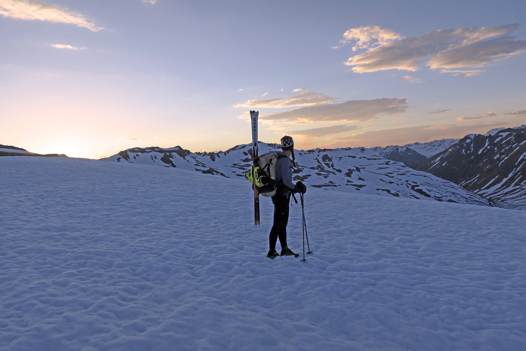
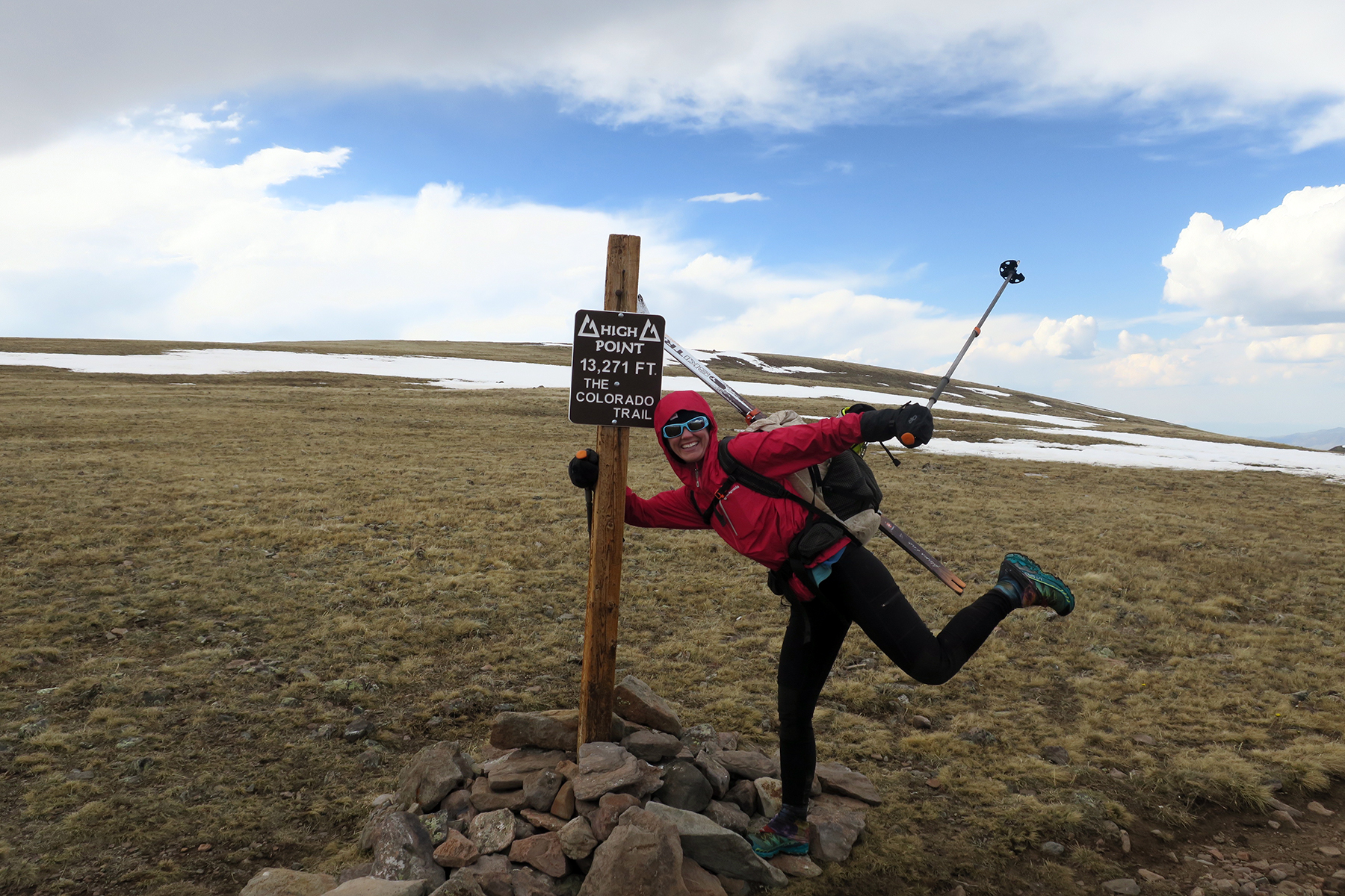
 June 5 – Just north of Stony Pass to Colorado Trail Yurt – 24 miles, 4,731 feet of climbing, 5,725 feet of down. Another tough day. Snow is failing, so after about an hour of efficient travel things just got too slushy. Ended up doing endless postholing, skins failing in minutes. Slow going. Past Cataract Lake, postholing everywhere, exhausted, when we got smart and put skis back on. Up over pass, awesome descent quite a ways down Lost Trail Creek. Then, a long hike back up to the trail and eventually up to a very cold, blustery and stormy Carson Peak and the high point of the Colorado Trail. Proceeded to have some very tough slush skinning/postholing and descents down ridgeline with eventual goal of yurt. Concerned that snow to the east and Snow Mesa doesn’t look all that snowy. Nice ski line down to the yurt, making turns over posthole marks. Work our way into the yurt, meet two other hikers. First humans we’ve seen since Wolf Creek Pass, only the third since Cumbres Pass. Feels like we’ve been in the wilderness on an intense, intense experience.

 June 6,7 – Easy walk to Spring Creek Pass, rest days. The only thing of note here is that Lucky at the Raven’s Roost is an awesome human being, and we were very, very tired. Lake City is a gem of a trail town. Don’t miss it.
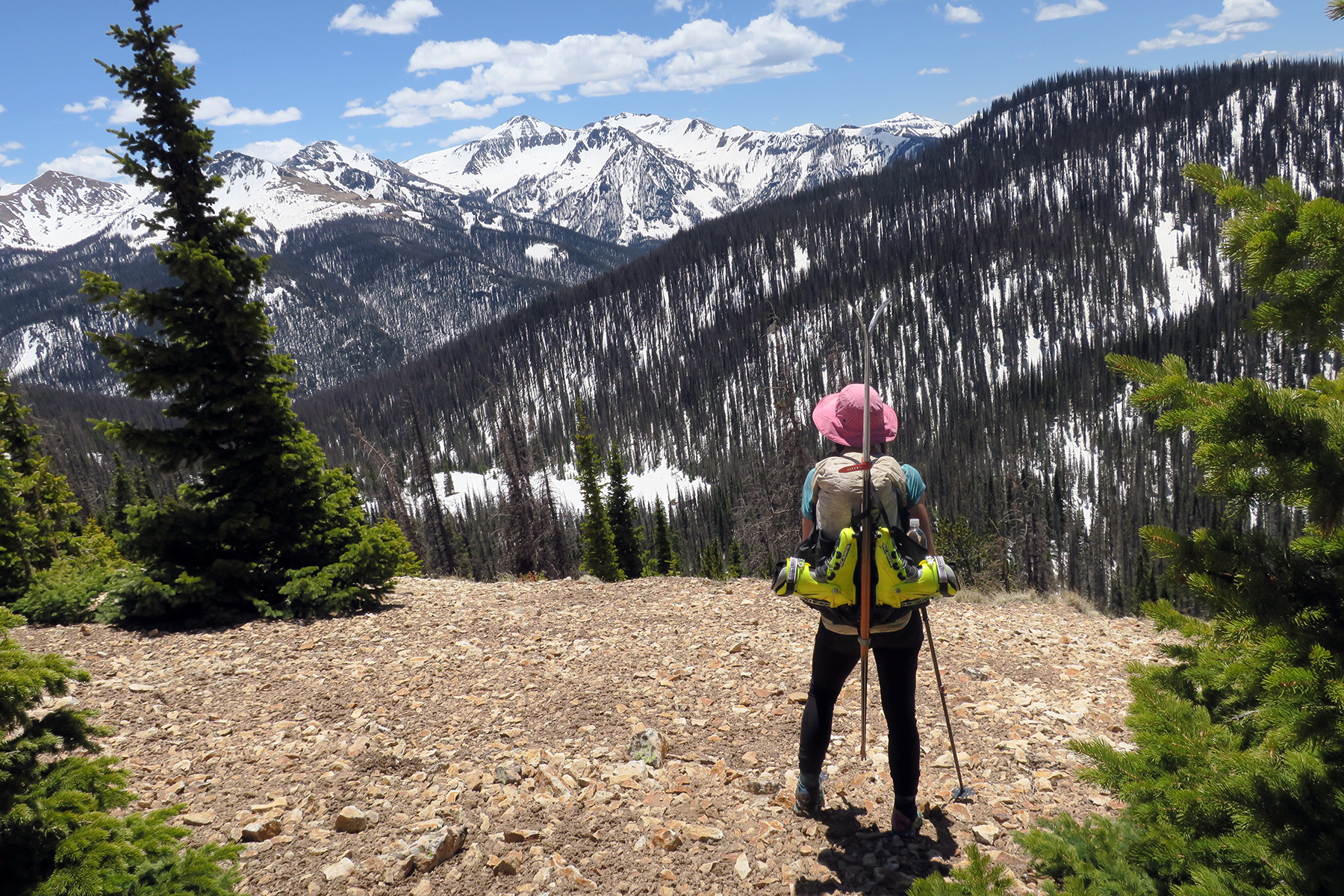
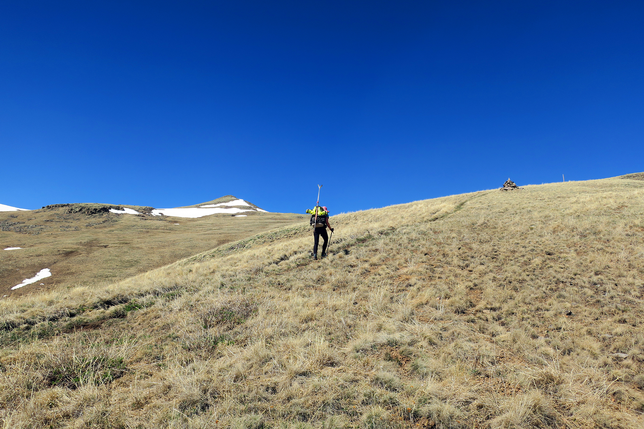
June 8 – Spring Creek Pass to massive cirque just west of San Luis Peak. 19 miles, 5,400 feet of climbing, 3990 feet of descending. No snow on Snow Mesa, then finally put on skis 10 miles into the day for a slushy descent. So wooded it made little sense to ski, so we posthole instead. We’re about two weeks too late. Windy camp born from exhaustion on the side of the mountain. Lots of carrying the skis on the back today.
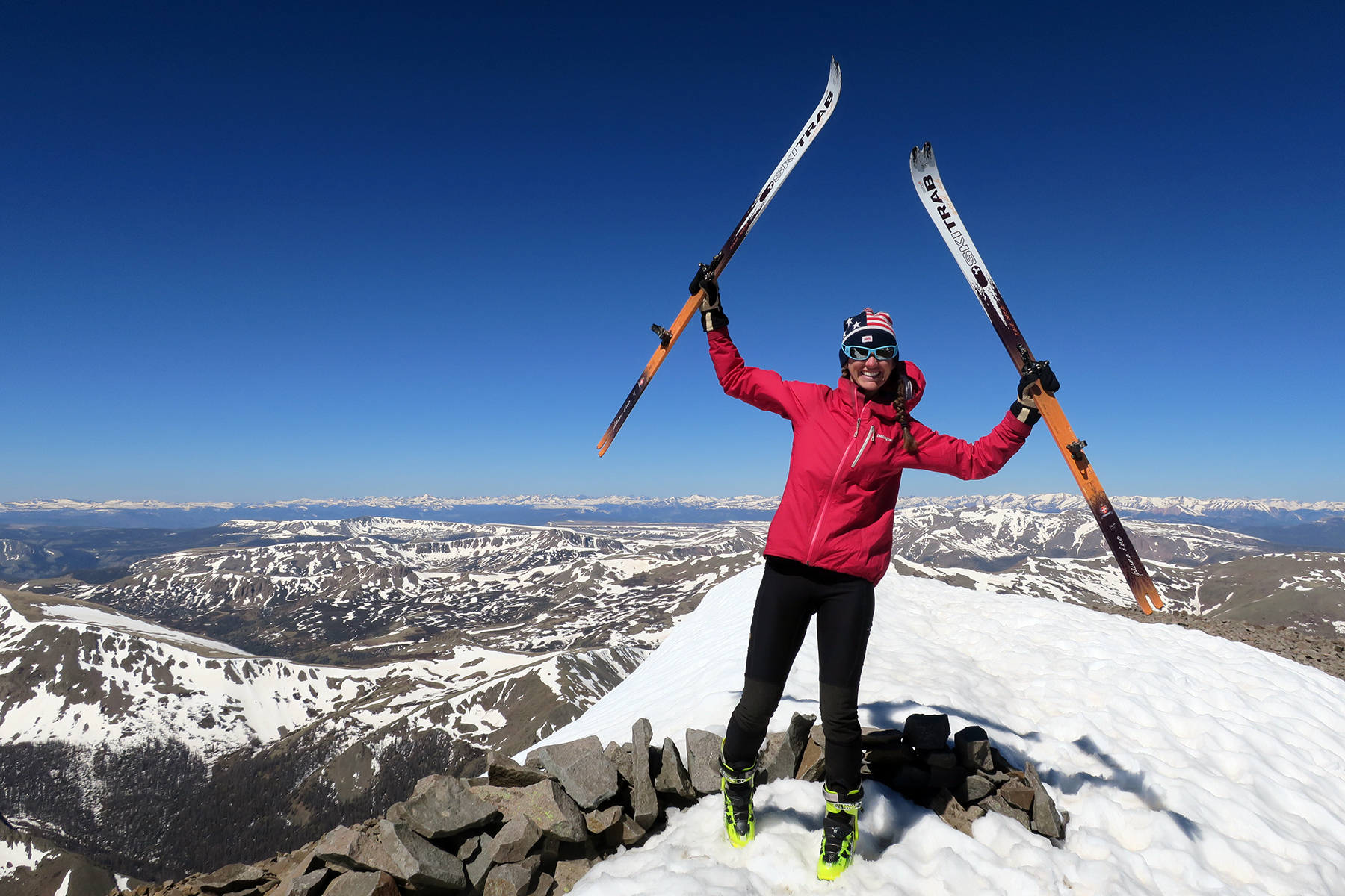
June 9 – San Luis Peak to Cochetopa Hills. 24 miles, 3,200 feet of climbing, 5,000 feet of down. We are dead tired, but we’ve got to ski San Luis Peak, one of Colorado’s highest mountains and put a little exclamation point on this journey. Nice descent down the east side to Cochetopa Creek, but snow soon turned rotton, we had to scramble out, and thus ended the ski. All walking from here to Canada!
 We carried our ski gear out another day and a half to Cochetopa Pass where our friends fed us and allowed us to convert to normal, lightweight, thru-hiking gear. We walked the remainder of the trail to Canada, but we did have some tiny “Ski Bums” skis sent to us in Pinedale, Wyoming and East Glacier, Montana to keep our streak of 86 straight months with at least one day of skiing alive. We ended up making some horrible turns in massive sun cups on the west side of Knapsak Col in the Wind River Range in August and did some cross-country skiing around the Amtrak station in East Glacier when the first snow of autumn arrived in mid-September. We made some turns in July at our home in Colorado. The steak lives on!
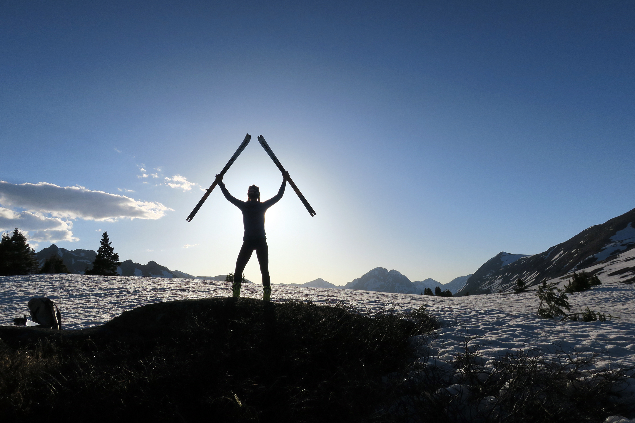
Summary: The ski of the San Juans is something we’re proud of. It was very hard and it felt good to persevere and prove that it was possible. There were a number of critics and naysayers beforehand, and I’d be lying if I said that didn’t fuel us a little bit.
I believe skiing is a legitimate form of transportation on the CDT. In the race to the South Pole, they skied. Snowy places are made for skis, and the San Juans in May are snowy. Skis are allowed in Wilderness – there are no restrictions and they are seen as appropriate in Wilderness areas.
Contrary to what one fellow-thru hiking critic (from the skiing mecca of Indiana) told us, skiing the San Juans is NOT “akin to getting in a car and driving to Canada.” The energy required to do the sheer vertical of heading up couloirs and back down was easily the hardest part of the trail for us. The San Juan ski took a toll. We were never as spry for the rest of the hike as we were after the San Juans. It was ten of the very hardest days of the trail piled on top of each other, and it left us exhausted for the rest of the hike. We finished, but it was not easy.
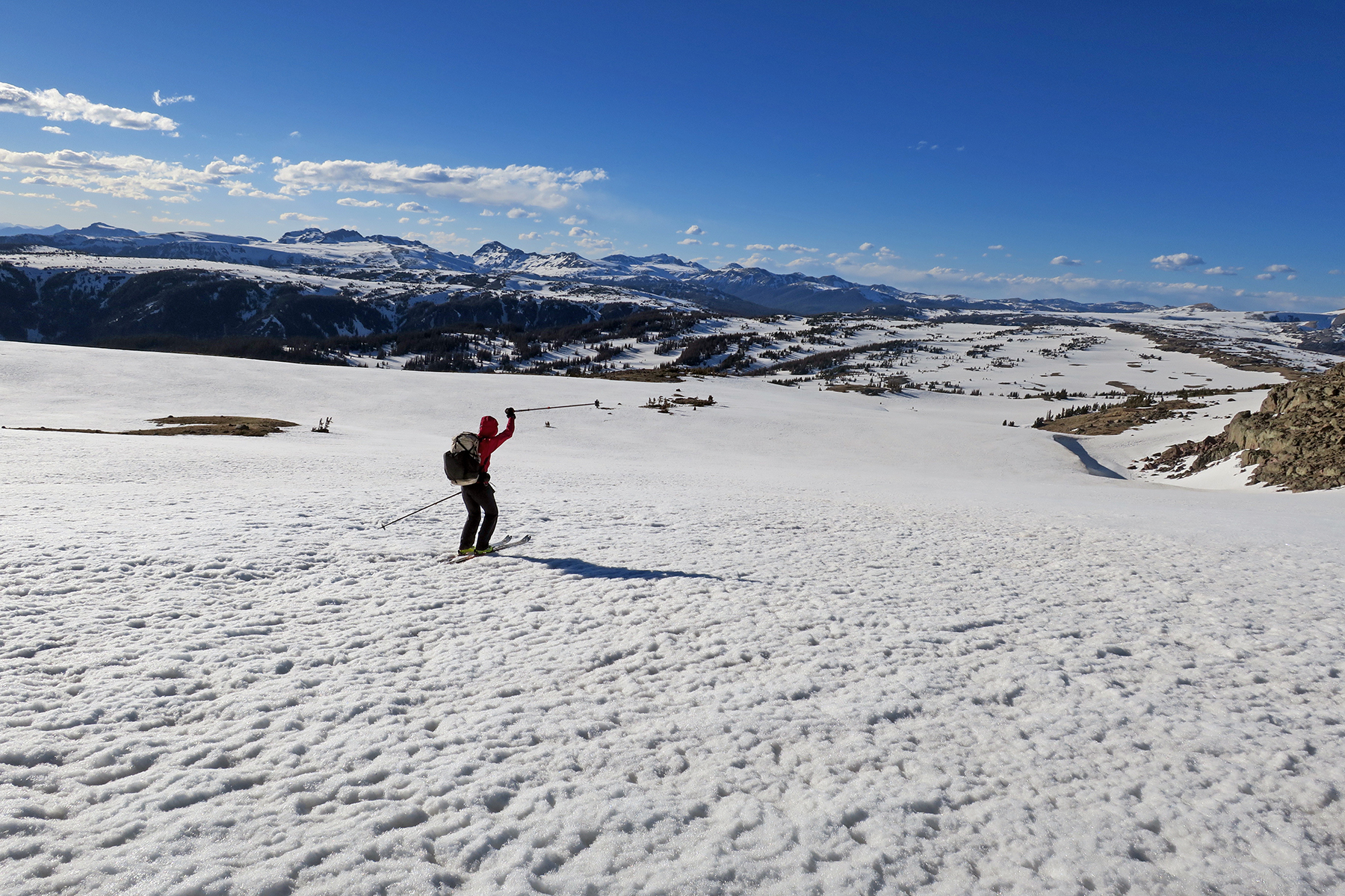
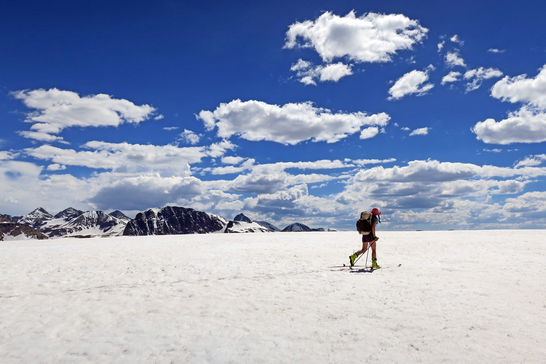
 At times, the skiing was fantastic. There were lines that were dramatic and downright fun, and so remote that it would be unrealistic to just ski them on a weekend backcountry trip. The area south of Wolf Creek Pass offers terrific, essentially empty skiing. The area north of Wolf Creek was more traverse-like in nature, but we also really felt the effects of being too late in the season. I would say around Memorial Day would be a perfect time to be finishing up at San Luis Peak
 Being up in the San Juans in May is harder physically than taking a lower route. It seems many hikers skip this part, and this isn’t necessarily a bad idea. It’s tough being up so high. It’s colder, it snows, it’s late spring in the high, high Rockies. Living at 12,000 feet is harder, you eat more, you sleep less, you burn more calories. The appropriate gear probably needs to be more robust and warmer.
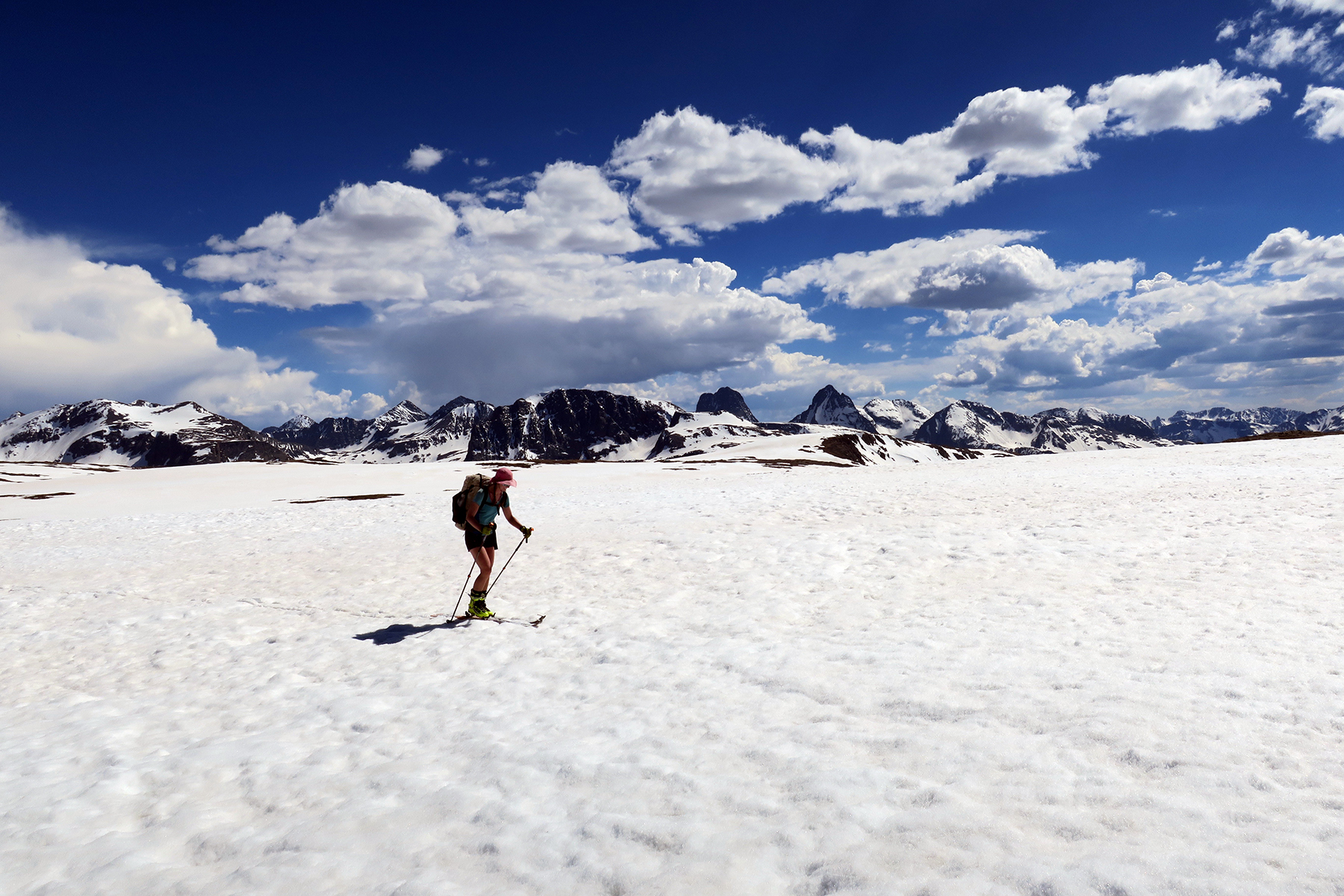
 If prepared, it is a wildly enriching experience to ski the San Juans, indeed one of the finest ski experiences I’ve ever had. The mountains observed, the descents enjoyed, the couloirs climbed…it’s unforgettable. It is the wildest part of the trail. The animals are just emerging, the tourists have not arrived, there will be few other people. We saw injured elk from winter, baby calves left on the tundra, and massive elk herds, skinny and surviving. We saw newborn moose calves, went to sleep each night to the sound of coyotes howling, saw black bears and enjoyed the awakening spring in the high Rocky Mountains.
In future years Snow and I hope to return to the San Juans and chart and map out a true “CDT Skier’s Haute Route Alternate,” that takes advantage of the awesome terrain by maximizing aesthetic and amazing couloir descents and snow climbs back up. Or if somebody would like that chart this out first, we will be your biggest supporters.
We encourage anybody with the know-how and desire to ski the San Juan part of the CDT. It will take toll on your body, but it does not need to be a sacrifice for finishing the CDT. In retrospect, it was probably the best part of the entire hike.

Leave a comment